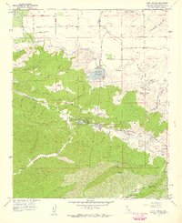
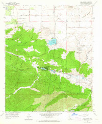
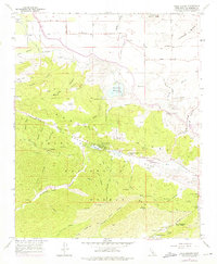
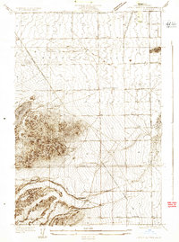
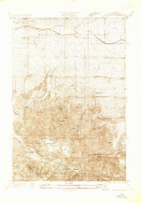
1957 Map of Lake Hughes
USGS Topo · Published 1959About this map
The San Andreas Fault Zone dramatically bisects this landscape, creating the linear valley that holds Elizabeth Lake and Hughes Lake. In the late 1950s, this portion of the Angeles National Forest shows a mix of rural ranching and early community development. High on Portal Ridge, landmarks like the Sky Haven Ranch and Munz Ranch define the upland economy, while the Hughes-Elizabeth Lakes School serves the gathered settlements below. This map is a rare record of the area's mid-century infrastructure, featuring the sprawling Aqueduct system and the Fairmont Reservoir with its prominent Intake Tower. Cultural details such as the Shoe Castle near Indian Spring and the presence of Petroglyphs indicate a deep history of both whimsical roadside architecture and ancient native presence in the northern reaches of Los Angeles County.
Find a feature on this map
77 named features on this map. Tap any name to fly to it.
Don’t see what you’re looking for? This feature index may not catch every label — zoom into the map to look around manually.
Map Details
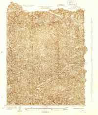
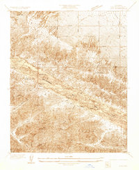
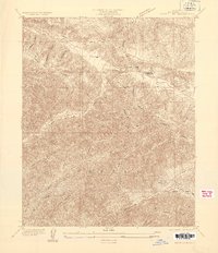
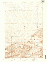
Editions of this 1957 Lake Hughes Map
3 editions found
Other maps of this area

1903 · Tejon
USGS Topo · 1:125,000

1915 · Elizabeth Lake
USGS Topo · 1:125,000

1917 · Elizabeth Lake
USGS Topo · 1:125,000
1931 · Warm Spring
USGS Topo · 1:24,000
1931 · Little Buttes
USGS Topo · 1:24,000
1932 · Lake
USGS Topo · 1:24,000
1932 · Hughes Lake
USGS Topo · 1:24,000
1932 · Fairmont
USGS Topo · 1:24,000
1933 · Manzana
USGS Topo · 1:24,000
1934 · Little Buttes
USGS Topo · 1:24,000