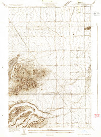
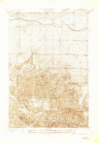
1957 Map of Lake Hughes
USGS Topo · Published 1975About this map
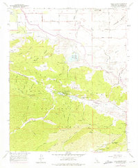
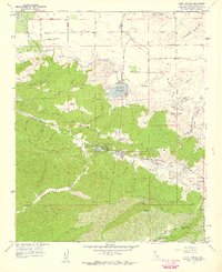
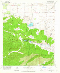
The San Andreas Rift Zone serves as the structural backbone of this area, where a series of sag ponds including Hughes Lake, Munz Lakes, and Elizabeth Lake follow the fault line. This topography creates a distinct corridor between the northern desert plains and the steep canyons of the Angeles National Forest. Significant infrastructure of the mid-20th century is evident through the California Aqueduct and Fairmont Reservoir, reflecting the region's role in large-scale water transport. Historical human presence is marked by diverse landmarks, from ancient Petroglyphs near Sheas Castle to the local Hughes-Elizabeth Lakes School. Small settlements like Fairmont and Sky Haven Ranch dot the landscape, connected by a network of primitive routes such as the Troedel Motorway and various Jeep Trails.
Find a feature on this map
66 named features on this map. Tap any name to fly to it.
Don’t see what you’re looking for? This feature index may not catch every label — zoom into the map to look around manually.
Map Details
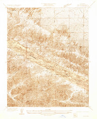
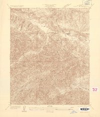
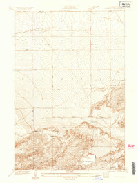
Editions of this 1957 Lake Hughes Map
3 editions found
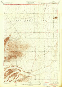
Other maps of this area

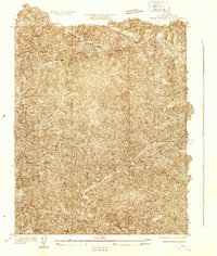
1903 · Tejon
USGS Topo · 1:125,000

1915 · Elizabeth Lake
USGS Topo · 1:125,000

1917 · Elizabeth Lake
USGS Topo · 1:125,000
1931 · Warm Spring
USGS Topo · 1:24,000
1931 · Little Buttes
USGS Topo · 1:24,000
1932 · Lake
USGS Topo · 1:24,000
1932 · Hughes Lake
USGS Topo · 1:24,000
1932 · Fairmont
USGS Topo · 1:24,000
1933 · Manzana
USGS Topo · 1:24,000
1934 · Little Buttes
USGS Topo · 1:24,000