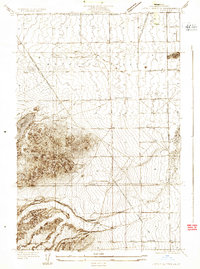
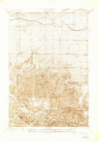
1957 Map of Lake Hughes
USGS Topo · Published 1964About this map
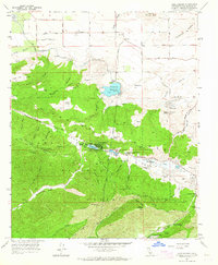
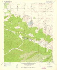
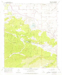
The San Andreas Fault rift zone creates a distinctive string of sag ponds and valley settlements in this mid-century survey of northern Los Angeles County. Lake Hughes and the larger Elizabeth Lake serve as the primary landmarks for this mountain-and-high-desert transition, supporting small communities like Edgewater Park and Andrade Corner. The landscape is dominated by the northern reaches of the Angeles National Forest, where the San Francisquito Ranger Station and various truck trails, including the Broad Canyon Truck Trail, manage the steep terrain of Grass Mountain and Tule Ridge. Human infrastructure is visible in the Fairmont Reservoir and its associated Intake Tower, while local ranching and aviation history is noted through the Munz Ranch, Sky Haven Ranch, and a Landing Strip near the high-desert town of Fairmont. This survey captures the rural character of the area before modern suburban expansion began to encroach on these mountain valleys.
Find a feature on this map
58 named features on this map. Tap any name to fly to it.
Don’t see what you’re looking for? This feature index may not catch every label — zoom into the map to look around manually.
Map Details
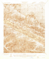
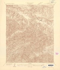
Editions of this 1957 Lake Hughes Map
3 editions found
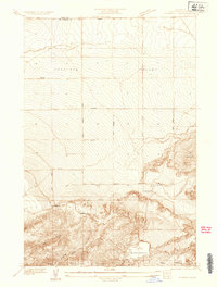
Other maps of this area

1903 · Tejon
USGS Topo · 1:125,000

1915 · Elizabeth Lake
USGS Topo · 1:125,000

1917 · Elizabeth Lake
USGS Topo · 1:125,000
1931 · Warm Spring
USGS Topo · 1:24,000
1931 · Little Buttes
USGS Topo · 1:24,000
1932 · Lake
USGS Topo · 1:24,000
1932 · Hughes Lake
USGS Topo · 1:24,000
1932 · Fairmont
USGS Topo · 1:24,000
1933 · Manzana
USGS Topo · 1:24,000
1934 · Little Buttes
USGS Topo · 1:24,000