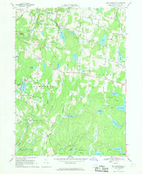
1967 Map of Lake Huntington
USGS Topo · Published 1969About this map
The recreational and rural landscape of Sullivan County unfolds across this 1960s survey, characterized by a dense network of water bodies and summer camps. Small lakeside communities like Lake Huntington and Kenoza Lake anchor the region, while the Tenmile River Camps occupy the southern reaches near the Tenmile River. The map reveals a transition from traditional agriculture to a hospitality-driven economy, evidenced by the numerous named ponds such as Lake Superior and Toronto Lake alongside a Golf Course. Local genealogy is preserved through family-named landmarks like Fosterdale, Hurd Settlement, and Tylertown, as well as older infrastructure like the New Turnpike Road. Settled hamlets like Cochecton Center and Falls Mills provide a glimpse into the region's scattered development pattern before modern expansion, maintaining a character defined by its creeks and ridges.
Find a feature on this map
69 named features on this map. Tap any name to fly to it.
Don’t see what you’re looking for? This feature index may not catch every label — zoom into the map to look around manually.
Map Details
Editions of this 1967 Lake Huntington Map
2 editions found
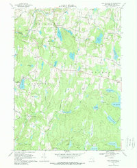
Other maps of this area

1920 · Long Eddy
USGS Topo · 1:62,500

1920 · Damascus
USGS Topo · 1:62,500

1921 · Long Eddy
USGS Topo · 1:48,000

1921 · Livingston Manor
USGS Topo · 1:62,500

1922 · White Lake
USGS Topo · 1:62,500

1923 · Damascus
USGS Topo · 1:62,500

1923 · Long Eddy
USGS Topo · 1:62,500

1923 · Livingston Manor
USGS Topo · 1:62,500

1942 · White Lake
USGS Topo · 1:62,500

1943 · Honesdale
USGS Topo · 1:125,000