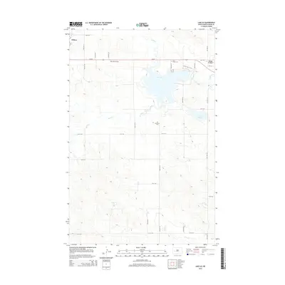
2014 Map of Lake Ilo
USGS Topo · Published 2014About this map
Lake Ilo sits at the center of this Dunn County landscape, serving as a primary hydrologic feature alongside the meandering Spring Cr and Murphy Cr. The settlement of Dunn Center anchors the eastern edge of the water, while the city of Killdeer is positioned in the northwest corner. This 2014 survey documents the modern layout of the region's agricultural road grid, including ND-200 which connects the primary population centers.
Find a feature on this map
21 named features on this map. Tap any name to fly to it.
Don’t see what you’re looking for? This feature index may not catch every label — zoom into the map to look around manually.
Map Details
Editions of this 2014 Lake Ilo Map
This is the sole edition of this map. No revisions or reprints were ever made.
Other maps of this area

1953 · Watford City
USGS Topo · 1:250,000

1957 · Watford City
USGS Topo · 1:250,000

1967 · Watford City
USGS Topo · 1:250,000

1970 · Dunn Center NW
USGS Topo · 1:24,000

1970 · Dunn Center NE
USGS Topo · 1:24,000

1973 · Ziner Butte
USGS Topo · 1:24,000

1973 · Manning
USGS Topo · 1:24,000

1973 · Dunn Center
USGS Topo · 1:24,000

1973 · Emerson
USGS Topo · 1:24,000

1973 · Lake Ilo
USGS Topo · 1:24,000