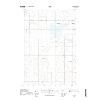
2020 Map of Lake Ilo
USGS Topo · Published 2020About this map
Lake Ilo dominates the northern half of this landscape, fed by Spring Creek as it flows toward Dunn Center. This portion of Dunn County showcases a transition from the structured residential blocks of Killdeer in the northwest to the open ranching and agricultural lands that define the Missouri Plateau. Local heritage is centered around long-standing community institutions such as the Normanna Lutheran Church and the nearby Mormannia Cemetery, reflecting the area's deep-rooted settlement patterns.
Find a feature on this map
36 named features on this map. Tap any name to fly to it.
Don’t see what you’re looking for? This feature index may not catch every label — zoom into the map to look around manually.
Map Details
Editions of this 2020 Lake Ilo Map
This is the sole edition of this map. No revisions or reprints were ever made.
Other maps of this area

1953 · Watford City
USGS Topo · 1:250,000

1957 · Watford City
USGS Topo · 1:250,000

1967 · Watford City
USGS Topo · 1:250,000

1970 · Dunn Center NW
USGS Topo · 1:24,000

1970 · Dunn Center NE
USGS Topo · 1:24,000

1973 · Ziner Butte
USGS Topo · 1:24,000

1973 · Manning
USGS Topo · 1:24,000

1973 · Dunn Center
USGS Topo · 1:24,000

1973 · Emerson
USGS Topo · 1:24,000

1973 · Lake Ilo
USGS Topo · 1:24,000