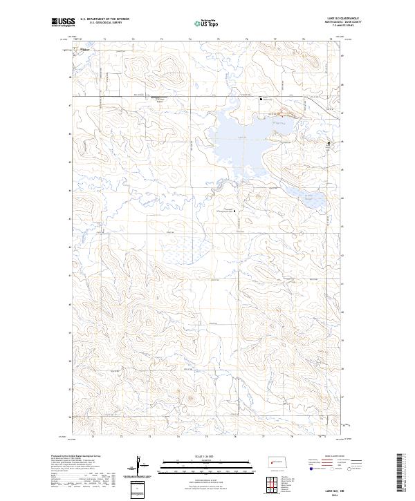
2024 Map of Lake Ilo
USGS Topo · Published 2024About this map
Lake Ilo National Wildlife Refuge anchors the central landscape of this western North Dakota quadrangle. Fed by Spring Creek, the waters of Lake Ilo provide a critical habitat amidst the agricultural grid of Dunn County. The topography is defined by the drainages of Murphy Creek and Stray Creek, which carve through the high plains south of Killdeer. The map reveals a pattern of rural settlement marked by the Normanna Lutheran Church Cem and the Dunn Center Cem, reflecting the enduring community heritage of the region. Transportation and recreation are represented by the North Shore Nature Trl and Pete's Port Airport, while Le-Paul Slough provides further evidence of the area's complex prairie pothole hydrology. This survey captures a modern look at a landscape where federal conservation efforts and traditional township land divisions intersect.
Find a feature on this map
34 named features on this map. Tap any name to fly to it.
Don’t see what you’re looking for? This feature index may not catch every label — zoom into the map to look around manually.
Map Details
Editions of this 2024 Lake Ilo Map
This is the sole edition of this map. No revisions or reprints were ever made.
Other maps of this area

1953 · Watford City
USGS Topo · 1:250,000

1957 · Watford City
USGS Topo · 1:250,000

1967 · Watford City
USGS Topo · 1:250,000

1970 · Dunn Center NW
USGS Topo · 1:24,000

1970 · Dunn Center NE
USGS Topo · 1:24,000

1973 · Ziner Butte
USGS Topo · 1:24,000

1973 · Manning
USGS Topo · 1:24,000

1973 · Dunn Center
USGS Topo · 1:24,000

1973 · Emerson
USGS Topo · 1:24,000

1973 · Lake Ilo
USGS Topo · 1:24,000