
1963 Map of Lake Isabel
USGS Topo · Published 1964About this map
The Las Vegas Grant Boundary defines the southern reach of this landscape, where the Sapello River flows through the foothills of northern New Mexico. In the early 1960s, this area remained largely rural, anchored by local landmarks like Our Lady of Guadalupe Ch and the adjacent Sapello Cem. The terrain is characterized by the prominent Riner Mesa and the winding Arroyo de la Jara, which drains toward the southeast.
Find a feature on this map
13 named features on this map. Tap any name to fly to it.
Don’t see what you’re looking for? This feature index may not catch every label — zoom into the map to look around manually.
Map Details
Editions of this 1963 Lake Isabel Map
This is the sole edition of this map. No revisions or reprints were ever made.
Other maps of this area

1889 · Las Vegas
USGS Topo · 1:125,000

1891 · Las Vegas
USGS Topo · 1:125,000

1893 · Las Vegas
USGS Topo · 1:125,000

1954 · Santa Fe
USGS Topo · 1:250,000

1958 · Santa Fe
USGS Topo · 1:250,000

1961 · Montezuma
USGS Topo · 1:24,000

1963 · Fort Union
USGS Topo · 1:24,000

1963 · Rainsville
USGS Topo · 1:24,000
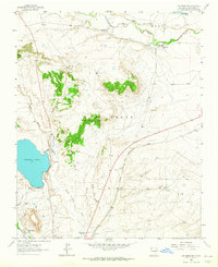
1963 · Las Vegas NW
USGS Topo · 1:24,000
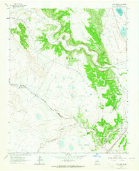
1963 · Loma Parda
USGS Topo · 1:24,000