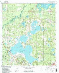
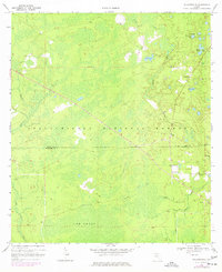
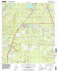
1982 Map of Lake Jackson
USGS Topo · Published 1983This historical map portrays the area of Lake Jackson in 1982, primarily covering Leon County as well as portions of Gadsden County. Featuring a scale of 1:24000, this map provides a highly detailed snapshot of the terrain, roads, buildings, counties, and historical landmarks in the Lake Jackson region at the time. Published in 1983, it is one of 2 known editions of this map due to revisions or reprints.
Find a feature on this map
55 named features on this map. Tap any name to fly to it.
Don’t see what you’re looking for? This feature index may not catch every label — zoom into the map to look around manually.
Map Details
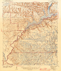
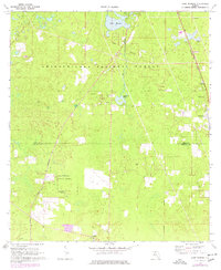
Editions of this 1982 Lake Jackson Map
2 editions found
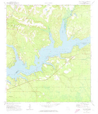
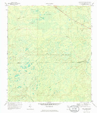
Historical Maps of Oak Knoll Estates Through Time
12 maps found
1943 Lake Talquin
Leon County, FL
1954 Lafayette
Leon County, FL
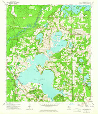
1963 Lake Jackson
Leon County, FL
1969 Hilliardville
Leon County, FL
1969 Lake Munson
Leon County, FL
1972 Lake Talquin
Leon County, FL
1972 Lake Talquin SE
Leon County, FL
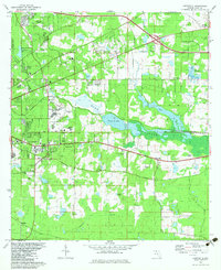
1982 Lafayette
Leon County, FL
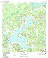
1982 Lake Jackson
Leon County, FL
1999 Lafayette
Leon County, FL
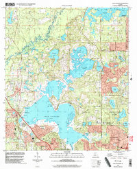
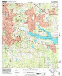
1999 Lake Jackson
Leon County, FL
1999 Lake Munson
Leon County, FL