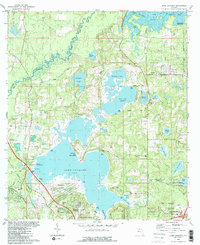
1982 Map of Lake Jackson
USGS Topo · Published 1983About this map
Lake Jackson Mounds anchor the southern shoreline of this landscape, marking a site of deep significance long before the mid-century suburban expansion of north Tallahassee. By the early 1980s, the area shows a distinct transition from the natural wetlands of the Ochlockonee River and Lake Iamonia to organized residential developments like Harbinwood Estates and Bellwood Estates. The map details the intricate network of water bodies, including Mallard Pond and Carr Lake, which defined the local geography before modern drainage alterations. To the southeast, the grounds of Alfred B Maclay State Gardens and historical sites like El Destinado represent the region's plantation and horticultural heritage. Rural life persists through several country churches such as St Pauls Ch and Bethalonia Ch, while the Seaboard Coast Line railroad and the Tallahassee Commercial Airport highlight the transportation infrastructure supporting the state capital's growth.
Find a feature on this map
55 named features on this map. Tap any name to fly to it.
Don’t see what you’re looking for? This feature index may not catch every label — zoom into the map to look around manually.
Map Details
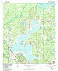
Editions of this 1982 Lake Jackson Map
2 editions found
Other maps of this area

1940 · Tallahassee
USGS Topo · 1:62,500

1942 · Tallahassee
USGS Topo · 1:62,500

1943 · Tallahassee
USGS Topo · 1:62,500

1954 · Lafayette
USGS Topo · 1:24,000

1954 · Tallahassee
USGS Topo · 1:250,000

1956 · Havana North
USGS Topo · 1:24,000

1956 · Calvary
USGS Topo · 1:24,000

1957 · Beachton
USGS Topo · 1:24,000

1959 · Tallahassee
USGS Topo · 1:250,000

1960 · Tallahassee
USGS Topo · 1:250,000