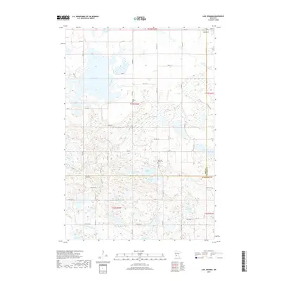
2019 Map of Lake Johanna
USGS Topo · Published 2019About this map
Lake Johanna and its surrounding wetlands dominate this landscape at the intersection of Stearns, Pope, and Kandiyohi counties. The settlement of Brooten sits at the northern edge, where the grid of Roe St and local township roads like Twp Rd T-11 connect the scattered farmsteads of the glacial prairie. The map reveals a high density of small, named water bodies including Rocky Mountain Lake, Skanning Lake, and Brenner Lake, many of which are linked by intricate drainage systems like County Ditch Number Fifteen.
Find a feature on this map
60 named features on this map. Tap any name to fly to it.
Don’t see what you’re looking for? This feature index may not catch every label — zoom into the map to look around manually.
Map Details
Editions of this 2019 Lake Johanna Map
This is the sole edition of this map. No revisions or reprints were ever made.
Other maps of this area

1953 · Saint Cloud
USGS Topo · 1:250,000

1957 · Saint Cloud
USGS Topo · 1:250,000

1958 · Saint Cloud
USGS Topo · 1:250,000

1965 · Padua
USGS Topo · 1:24,000

1965 · Sedan
USGS Topo · 1:24,000

1967 · Mount Tom
USGS Topo · 1:24,000

1967 · Sunburg
USGS Topo · 1:24,000

1967 · Belgrade
USGS Topo · 1:24,000

1967 · Lake Johanna
USGS Topo · 1:24,000

1968 · Terrace
USGS Topo · 1:24,000