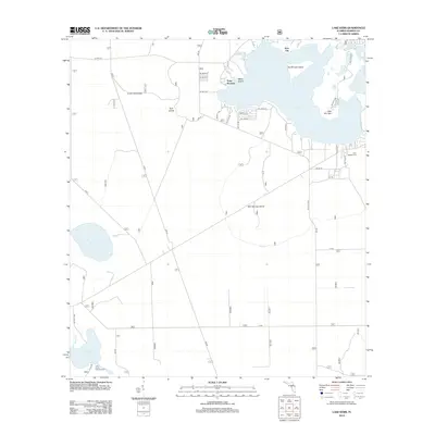
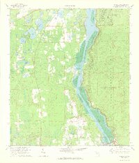
2012 Map of Lake Kerr
USGS Topo · Published 2012About this map
Kerr City and the waters of Lake Kerr anchor this portion of the Ocala National Forest region, revealing a landscape defined by expansive lakes and sandy scrub. The map shows a transition from the historic citrus-era settlement at Kerr City to the recreational and forestry infrastructure that characterized the area in the early 21st century. Distinctive landforms such as Kauffmans Island, Petes Island, and Salt Springs Island rise within the lakes, while the Eureka Lookout Tower stands as a sentinel over the western woodlands.
Find a feature on this map
30 named features on this map. Tap any name to fly to it.
Don’t see what you’re looking for? This feature index may not catch every label — zoom into the map to look around manually.
Map Details
Editions of this 2012 Lake Kerr Map
This is the sole edition of this map. No revisions or reprints were ever made.
Other maps of this area

1954 · Daytona Beach
USGS Topo · 1:250,000

1958 · Daytona Beach
USGS Topo · 1:250,000

1964 · Daytona Beach
USGS Topo · 1:250,000
1970 · Ft McCoy
USGS Topo · 1:24,000

1970 · Welaka
USGS Topo · 1:24,000
1970 · Lake Delancy
USGS Topo · 1:24,000

1970 · Salt Springs
USGS Topo · 1:24,000
1970 · Lynne
USGS Topo · 1:24,000

1970 · Halfmoon Lake
USGS Topo · 1:24,000
1970 · Eureka Dam
USGS Topo · 1:24,000