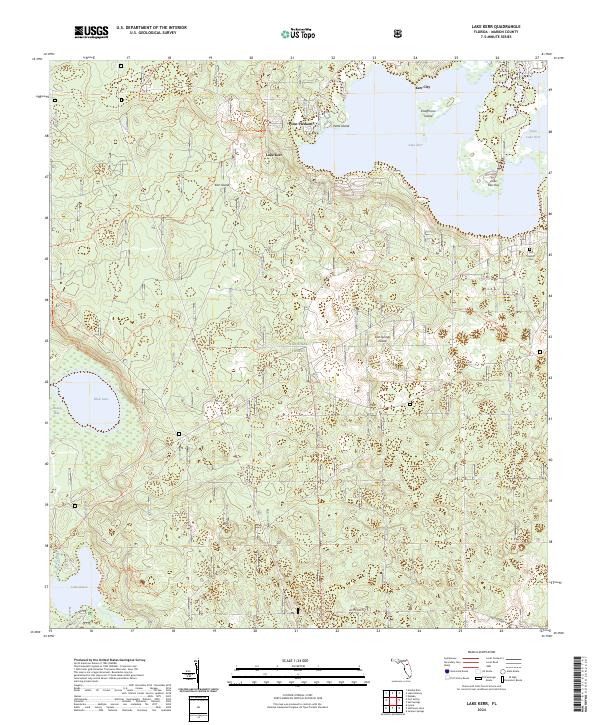
2024 Map of Lake Kerr
USGS Topo · Published 2024About this map
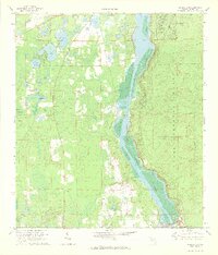
Lake Kerr and the surrounding pine scrub of the Ocala National Forest dominate this landscape in north-central Florida. The settlement of Kerr City sits on the northern shore of the lake, once a thriving citrus-growing center, while Point Pleasant occupies a small peninsula to the west. The map details a complex system of islands within the water, including Petes Island, Kerr Island, and Kauffmans Island.
Find a feature on this map
24 named features on this map. Tap any name to fly to it.
Don’t see what you’re looking for? This feature index may not catch every label — zoom into the map to look around manually.
Map Details
Editions of this 2024 Lake Kerr Map
This is the sole edition of this map. No revisions or reprints were ever made.
Other maps of this area

1954 · Daytona Beach
USGS Topo · 1:250,000

1958 · Daytona Beach
USGS Topo · 1:250,000

1964 · Daytona Beach
USGS Topo · 1:250,000
1970 · Ft McCoy
USGS Topo · 1:24,000

1970 · Welaka
USGS Topo · 1:24,000
1970 · Lake Delancy
USGS Topo · 1:24,000

1970 · Salt Springs
USGS Topo · 1:24,000
1970 · Lynne
USGS Topo · 1:24,000

1970 · Halfmoon Lake
USGS Topo · 1:24,000
1970 · Eureka Dam
USGS Topo · 1:24,000