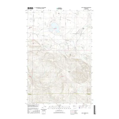
2017 Map of Lake Lawrence
USGS Topo · Published 2017About this map
Lake Lawrence and the winding Deschutes River define the northern lowlands of this Thurston County landscape, where residential corridors like Vail Rd SE and Smith Prairie Rd SE trace the edge of the Smith Prairie. The topography transitions sharply south of the river, rising into the significant elevations of Shell Rock Ridge and Porcupine Ridge. This southern half is dominated by dense forest and drainage networks, including Hull Cr and Fall Cr, which feed toward the Skookumchuck River near the border of Lewis County.
Find a feature on this map
48 named features on this map. Tap any name to fly to it.
Don’t see what you’re looking for? This feature index may not catch every label — zoom into the map to look around manually.
Map Details
Editions of this 2017 Lake Lawrence Map
This is the sole edition of this map. No revisions or reprints were ever made.
Other maps of this area

1916 · Chehalis
USGS Topo · 1:125,000

1937 · Eatonville
USGS Topo · 1:125,000

1941 · Tanwax Lake
USGS Topo · 1:62,500

1943 · Willapa
USGS Topo · 1:62,500

1944 · Yelm
USGS Topo · 1:62,500

1944 · Ohop Valley
USGS Topo · 1:62,500

1949 · Ohop Valley
USGS Topo · 1:62,500

1949 · Yelm
USGS Topo · 1:62,500

1953 · Hoquiam
USGS Topo · 1:250,000

1954 · Onalaska
USGS Topo · 1:62,500