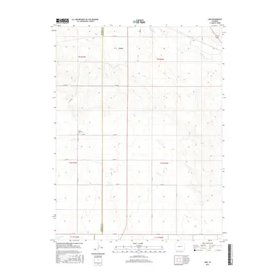
2016 Map of Lake
USGS Topo · Published 2016About this map
The high plains border between Elbert County and Lincoln County is the setting for this 2016 survey, a landscape defined by ephemeral waterways and a rigid grid of local roads. The town of Limon is situated in the northwestern portion of the map, serving as a focal point for the surrounding agricultural community. A significant local landmark is the Limon Mennonite Cem, located just off Co RD 90, providing a tangible link for those researching local family histories and settlement patterns in this part of eastern Colorado.
Find a feature on this map
30 named features on this map. Tap any name to fly to it.
Don’t see what you’re looking for? This feature index may not catch every label — zoom into the map to look around manually.
Map Details
Editions of this 2016 Lake Map
This is the sole edition of this map. No revisions or reprints were ever made.
Other maps of this area

1891 · Limon
USGS Topo · 1:125,000

1892 · Limon
USGS Topo · 1:125,000

1954 · Limon
USGS Topo · 1:250,000

1957 · Limon
USGS Topo · 1:250,000

1958 · Limon
USGS Topo · 1:250,000
1970 · Matheson SE
USGS Topo · 1:24,000

1970 · Limon
USGS Topo · 1:24,000

1970 · Four Corners
USGS Topo · 1:24,000
1970 · Long Creek
USGS Topo · 1:24,000
1970 · Matheson NE
USGS Topo · 1:24,000