1970 Map of Lake
USGS Topo · Published 1973About this map
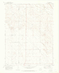
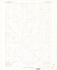
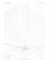
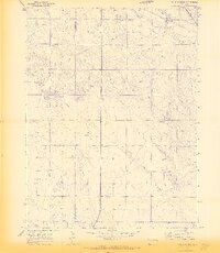
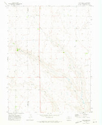
Union Pacific railroad tracks cut across the northeastern corner of this High Plains landscape, following the course of Big Sandy Creek through the open range. The 1970 topography reveals a sparsely settled region at the boundary of Elbert and Lincoln counties, where the economy relied on water access and vast tracts of land. Small community markers like Four Corners and Storm denote the intersections and gathering points of a ranching-focused interior. Near the northern edge, the Limon Country Club represents a managed recreational space amidst the dry drainage basins of Long Creek and Long Branch. Genealogists and local historians can locate a small Cem (cemetery) and a Gravel Pit, providing precise locations for family research and industrial history in this quiet stretch of eastern Colorado.
Find a feature on this map
11 named features on this map. Tap any name to fly to it.
Don’t see what you’re looking for? This feature index may not catch every label — zoom into the map to look around manually.
Map Details
Editions of this 1970 Lake Map
2 editions found
Other maps of this area

1891 · Limon
USGS Topo · 1:125,000

1892 · Limon
USGS Topo · 1:125,000

1954 · Limon
USGS Topo · 1:250,000

1957 · Limon
USGS Topo · 1:250,000

1958 · Limon
USGS Topo · 1:250,000
1970 · Matheson SE
USGS Topo · 1:24,000
1970 · Limon
USGS Topo · 1:24,000
1970 · Four Corners
USGS Topo · 1:24,000
1970 · Long Creek
USGS Topo · 1:24,000
1970 · Matheson NE
USGS Topo · 1:24,000