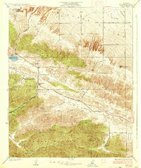
1937 Map of Lake
USGS Topo · Published 1937About this map
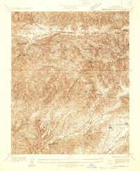
Elizabeth Lake and the dramatic geology of the San Andreas Rift Zone anchor this 1930s survey of the High Desert transition. The landscape is defined by the sharp tectonic divide between Portal Ridge and the Sierra Pelona, where the terrain drops away into the flat expanse of the Antelope Valley to the north. Settlement is concentrated along the historic Elizabeth Lake Road, featuring rural landmarks such as Talamantes, the Hitchbrook Ranch, and Sheas Lodge.
Find a feature on this map
30 named features on this map. Tap any name to fly to it.
Don’t see what you’re looking for? This feature index may not catch every label — zoom into the map to look around manually.
Map Details
Editions of this 1937 Lake Map
3 editions found
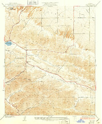
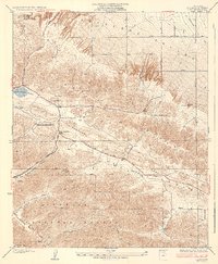
Other maps of this area

1915 · Elizabeth Lake
USGS Topo · 1:125,000

1917 · Elizabeth Lake
USGS Topo · 1:125,000

1931 · Little Buttes
USGS Topo · 1:24,000

1931 · Del Sur
USGS Topo · 1:24,000

1931 · Esperanza School
USGS Topo · 1:24,000
1932 · La Brun
USGS Topo · 1:24,000

1932 · Red Rover
USGS Topo · 1:24,000

1932 · Lake
USGS Topo · 1:24,000
1932 · Mint Canyon
USGS Topo · 1:24,000

1932 · Hughes Lake
USGS Topo · 1:24,000