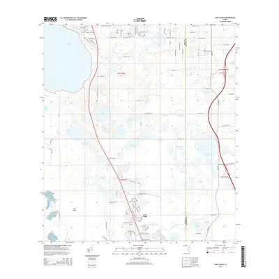
2015 Map of Lake Louisa
USGS Topo · Published 2015About this map
Citrus Ridge emerges as a primary settlement node in this 2015 survey, situated within a dense network of freshwater lakes that define the Central Florida landscape. The boundary between Lake Co Orange Co bisects a region heavily influenced by contemporary suburban expansion, visible in the intricate street patterns of neighborhoods like Vista Del Lago Blvd and the Barbados Loop. Large water bodies including Lake Louisa and Hickorynut Lake dominate the geography, separated by low-lying features such as Tiger Island.
Find a feature on this map
102 named features on this map. Tap any name to fly to it.
Don’t see what you’re looking for? This feature index may not catch every label — zoom into the map to look around manually.
Map Details
Editions of this 2015 Lake Louisa Map
This is the sole edition of this map. No revisions or reprints were ever made.
Other maps of this area

1953 · Windermere
USGS Topo · 1:24,000

1953 · Intercession City
USGS Topo · 1:24,000

1955 · Orlando
USGS Topo · 1:250,000

1956 · Winter Garden
USGS Topo · 1:24,000

1957 · Orlando
USGS Topo · 1:250,000

1958 · Orlando
USGS Topo · 1:250,000

1959 · Lake Nellie
USGS Topo · 1:24,000

1959 · Lake Louisa
USGS Topo · 1:24,000

1959 · Lake Louisa SW
USGS Topo · 1:24,000

1959 · Poyner
USGS Topo · 1:24,000