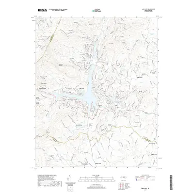
2019 Map of Lake Lure
USGS Topo · Published 2019About this map
Lake Lure and the steep terrain of the Hickory Nut Gorge dominate this 2019 survey of western North Carolina. The map captures the complex topography at the intersection of Rutherford, Buncombe, and Polk counties, where the Broad River feeds into several mountain lakes, including Hickory Nut Upper Lake and Occoneechee Lake. This area is defined by its dramatic peaks, such as Rumbling Bald Mtn, Shumont Mtn, and Chimney Rock Mtn, which tower over the resort communities and the tourist center at Chimney Rock Village.
Find a feature on this map
54 named features on this map. Tap any name to fly to it.
Don’t see what you’re looking for? This feature index may not catch every label — zoom into the map to look around manually.
Map Details
Editions of this 2019 Lake Lure Map
This is the sole edition of this map. No revisions or reprints were ever made.
Other maps of this area

1900 · Mount Mitchell
USGS Topo · 1:125,000

1902 · Mount Mitchell
USGS Topo · 1:125,000

1907 · Saluda
USGS Topo · 1:125,000

1935 · Batcave
USGS Topo · 1:24,000

1935 · Black Mountain
USGS Topo · 1:24,000

1935 · Fishtop
USGS Topo · 1:24,000

1941 · Black Mountain
USGS Topo · 1:24,000
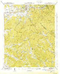
1943 · Black Mountain
USGS Topo · 1:24,000

1946 · Bat Cave
USGS Topo · 1:24,000

1946 · Cliffield Mtn
USGS Topo · 1:24,000