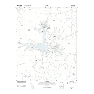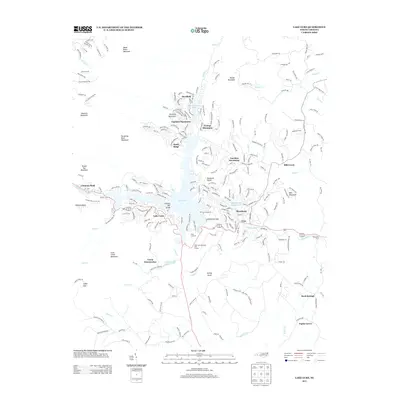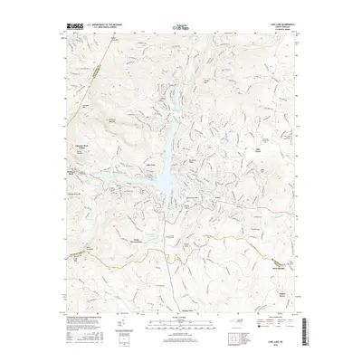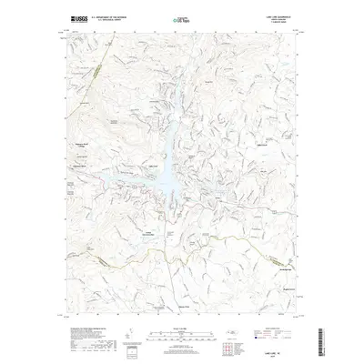
2022 Map of Lake Lure
USGS Topo · Published 2022About this map
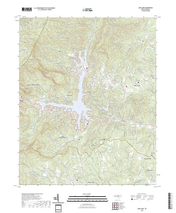
Lake Lure sits at the center of this mountain landscape, where the Broad River flows through the prominent Hickory Nut Gorge. This contemporary survey illustrates the developed recreation areas and residential clusters surrounding the water, including Chimney Rock Village and the smaller Occoneechee Lake to the south. The terrain is defined by significant elevations such as Rumbling Bald Mtn, Shumont Mtn, and Grassy Knob, which dictate the winding paths of roads like Buffalo Shoals Rd and Rumbling Bald Rd. For local historians and genealogists, the map identifies several essential community landmarks, including the Cane Creek Church Graveyard and Coopers Gap Baptist Church Graveyard, alongside numerous denominational cemeteries such as Bills Creek Baptist Church Cem. These sites, along with rural settlements like Uree and Sunny View, show the long-standing community structure persisting alongside modern development in Rutherford and Polk counties.
Find a feature on this map
247 named features on this map. Tap any name to fly to it.
Don’t see what you’re looking for? This feature index may not catch every label — zoom into the map to look around manually.
Map Details
Editions of this 2022 Lake Lure Map
This is the sole edition of this map. No revisions or reprints were ever made.
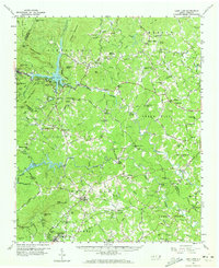
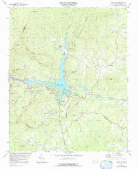
Historical Maps of Lake Lure Through Time
7 maps found