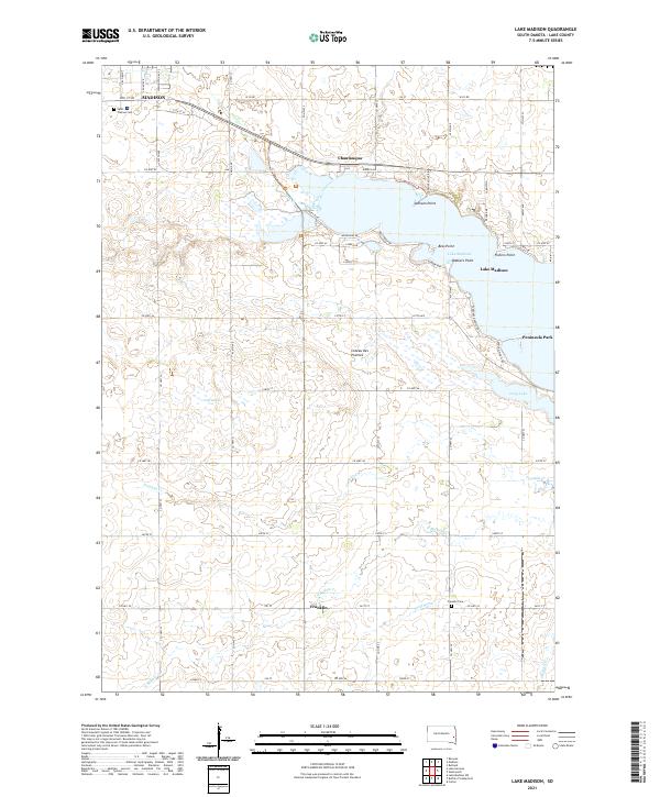
2021 Map of Lake Madison
USGS Topo · Published 2021About this map
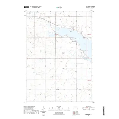
Lake Madison dominates this portion of the Coteau des Prairies, a high plateau characterized by glacial depressions and significant water bodies. The shoreline of the lake is punctuated by named landforms such as Walkers Point, Fishers Point, and Bess Point, reflecting the recreational and residential development typical of this South Dakota landscape. The map captures the edge of Madison in the northwest, including Saint Thomas Cem, while the smaller settlement of Franklin lies to the south near the Franklin Cem.
Find a feature on this map
45 named features on this map. Tap any name to fly to it.
Don’t see what you’re looking for? This feature index may not catch every label — zoom into the map to look around manually.
Map Details
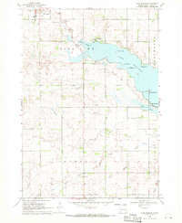
Editions of this 2021 Lake Madison Map
This is the sole edition of this map. No revisions or reprints were ever made.
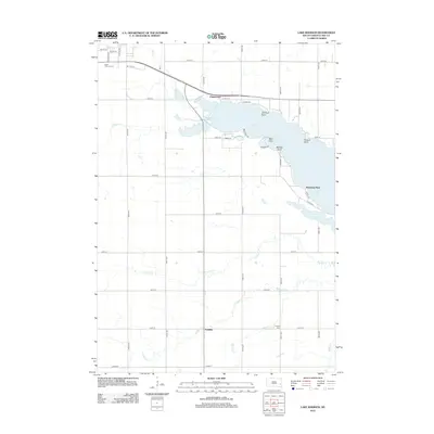
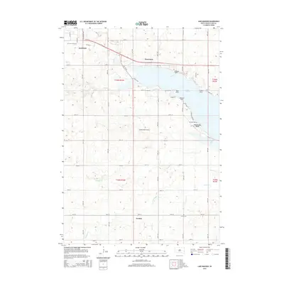
Historical Maps of Madison Through Time
5 maps found
Featured Locations
- Wentworth Township, SD
- Franklin Township, SD
- Chautauqua, Lakeview Township
- Madison, Lakeview Township
- Franklin, Franklin Township