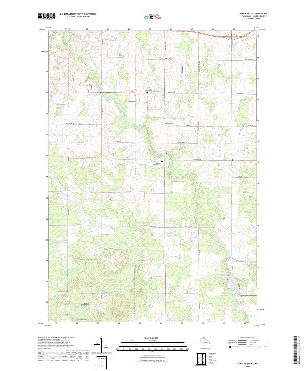
2022 Map of Lake Manakiki
USGS Topo · Published 2022About this map
The Yellow River winds through this Wood County landscape, cutting a path through a patchwork of marshy lowlands and agricultural tracts. Toward the south, Lake Manakiki and Lake Kaunewinne provide distinct focal points near the rise of Cary Mound. This survey captures the rural character of the region, where family and community history is anchored by sites like Trinity Lutheran Church Cem and the Richfield Cem. The terrain is further defined by several tributaries, including Mill Creek, Beaver Cr, and Rocky Cr, which feed the river system and historically influenced the local road network. The layout of county highways and local roads, such as Co Hwy B and S Central Ave, reveals a grid-based settlement pattern that persists into the modern era.
Find a feature on this map
56 named features on this map. Tap any name to fly to it.
Don’t see what you’re looking for? This feature index may not catch every label — zoom into the map to look around manually.
Map Details
Editions of this 2022 Lake Manakiki Map
This is the sole edition of this map. No revisions or reprints were ever made.
Historical Maps of Wood Through Time
18 maps found
1970 City Point NE
Wood County, WI

1970 City Point
Wood County, WI
1970 Sherry
Wood County, WI
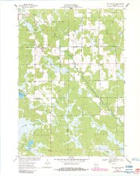
1979 Lake Manakiki
Wood County, WI
1979 Lindsey
Wood County, WI
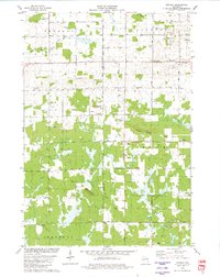
1984 Lake Dexter
Wood County, WI
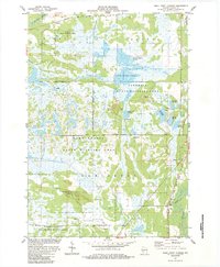
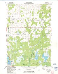
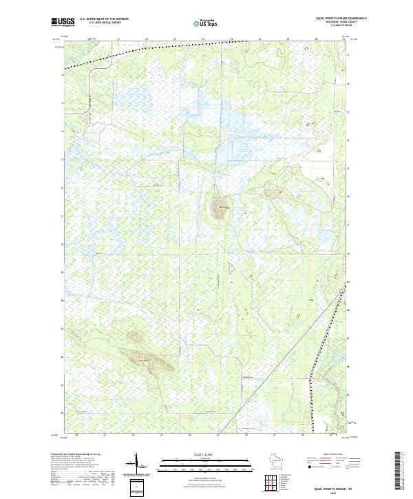
1984 Quail Point Flowage
Wood County, WI
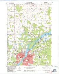
1984 Wisconsin Rapids North
Wood County, WI

1984 Wisconsin Rapids South
Wood County, WI
2022 City Point NE
Wood County, WI
2022 City Point
Wood County, WI
2022 Lake Dexter
Wood County, WI
2022 Lake Manakiki
Wood County, WI
2022 Lindsey
Wood County, WI
2022 Quail Point Flowage
Wood County, WI
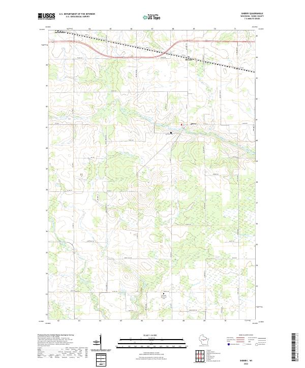
2022 Sherry
Wood County, WI
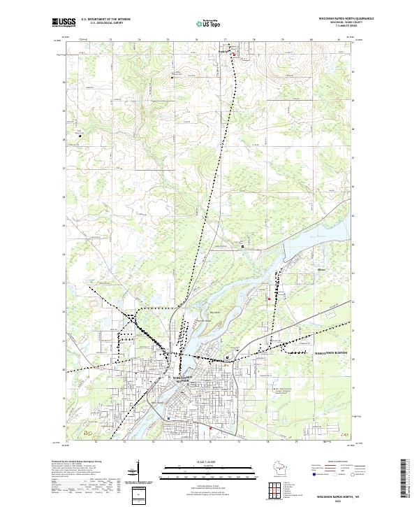
2022 Wisconsin Rapids North
Wood County, WI
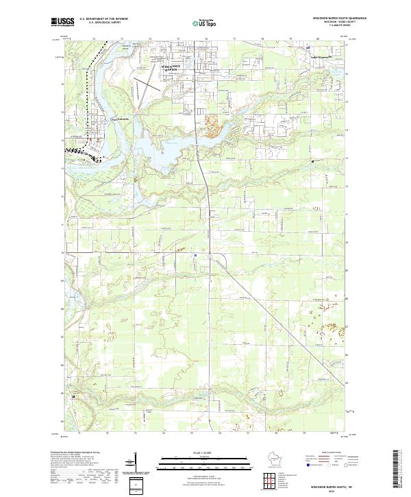
2022 Wisconsin Rapids South
Wood County, WI