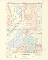
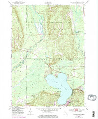
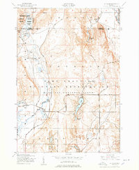
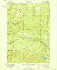
1950 Map of Lake Margrethe
USGS Topo · Published 1953This historical map portrays the area of Lake Margrethe in 1950, primarily covering Crawford County as well as portions of Kalkaska County. Featuring a scale of 1:24000, this map provides a highly detailed snapshot of the terrain, roads, buildings, counties, and historical landmarks in the Lake Margrethe region at the time. Published in 1953, it is one of 4 known editions of this map due to revisions or reprints.
Find a feature on this map
39 named features on this map. Tap any name to fly to it.
Don’t see what you’re looking for? This feature index may not catch every label — zoom into the map to look around manually.
Map Details
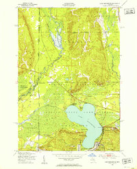
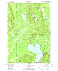
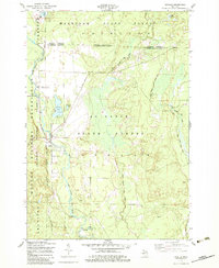
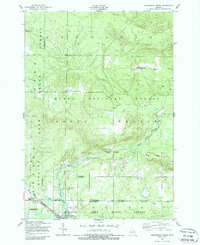
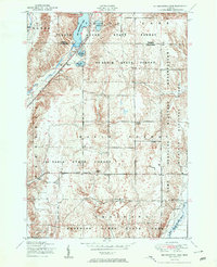
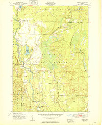
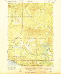
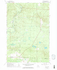
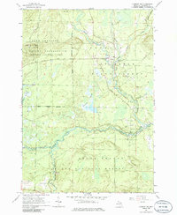
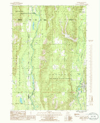
Editions of this 1950 Lake Margrethe Map
4 editions found
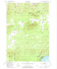
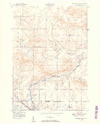
Historical Maps of Frederic Township Through Time
13 maps found
1950 Cote Dame Marie
Crawford County, MI
1950 Lake Margrethe
Crawford County, MI
1950 Lovells
Crawford County, MI
1950 Roscommon North
Crawford County, MI
1951 Big Bradford Lake
Crawford County, MI
1951 K P Lake
Crawford County, MI
1951 Lovells
Crawford County, MI
1951 Pere Cheney
Crawford County, MI
1951 Roscommon North
Crawford County, MI
1951 Wakeley Lake
Crawford County, MI
1963 Eldorado
Crawford County, MI
1963 Luzerne NW
Crawford County, MI
1985 Frederic
Crawford County, MI
Featured Locations
- Frederic Township, MI
- Bear Lake Township, MI
- Collens Landing, Grayling Charter Township
- Lake Margrethe, Grayling Charter Township
- McIntyre Landing, Grayling Charter Township