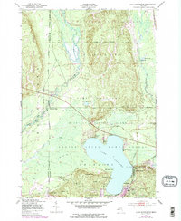
1950 Map of Lake Margrethe
USGS Topo · Published 1978About this map
Camp Grayling Military Reservation dominates the center of this Michigan landscape, indicating the long-standing military presence and training grounds surrounding Lake Margrethe. To the north and west, the map details the protected lands of the Au Sable State Forest and the Hanson State Game Refuge, where the Manistee River and Goose Creek wind through the terrain. Evidence of the mid-century recreational and transport network is clear, with several water-access points like McIntyre Landing, Danish Landing, and Collens Landing lining the lakefront. The New York Central railroad cuts through the eastern edge, while numerous named elevations such as Argonne Hill, Red Arrow Hill, and Mont St Martin define the ridges south of the military camps. This 1950 data, updated in the late 1970s, captures a transition between wilderness management and active military utility.
Find a feature on this map
35 named features on this map. Tap any name to fly to it.
Don’t see what you’re looking for? This feature index may not catch every label — zoom into the map to look around manually.
Map Details
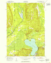
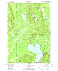
Editions of this 1950 Lake Margrethe Map
4 editions found
Other maps of this area

1949 · Black Creek
USGS Topo · 1:24,000

1949 · Otsego Lake
USGS Topo · 1:62,500

1949 · Fletcher
USGS Topo · 1:62,500

1949 · Grayling
USGS Topo · 1:62,500

1950 · Cote Dame Marie
USGS Topo · 1:24,000

1950 · Fletcher
USGS Topo · 1:24,000

1950 · Lake Margrethe
USGS Topo · 1:24,000

1950 · Grayling
USGS Topo · 1:24,000

1951 · Big Bradford Lake
USGS Topo · 1:24,000

1951 · Grayling
USGS Topo · 1:24,000
Featured Places
- Frederic Township, MI
- Collens Landing, MI
- Bear Lake Township, MI
- McIntyre Landing, MI
- Lake Margrethe, MI