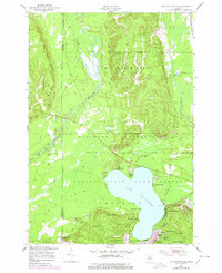
1950 Map of Lake Margrethe
USGS Topo · Published 1978About this map
Camp Grayling Military Reservation occupies a significant portion of this Crawford County landscape, where the waters of Lake Margrethe serve as a central focus for both military activity and lakeside settlement. The map documents a cluster of landings along the lake shore, including McIntyre Landing, Danish Landing, and Collens Landing, indicating a localized economy built around water access. To the north, the terrain is defined by the headwaters of two major Michigan river systems: the Manistee River flowing west and the Au Sable River trending east.
Find a feature on this map
35 named features on this map. Tap any name to fly to it.
Don’t see what you’re looking for? This feature index may not catch every label — zoom into the map to look around manually.
Map Details
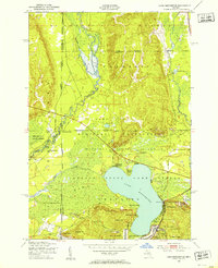
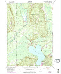
Editions of this 1950 Lake Margrethe Map
4 editions found
Other maps of this area

1949 · Black Creek
USGS Topo · 1:24,000

1949 · Otsego Lake
USGS Topo · 1:62,500

1949 · Fletcher
USGS Topo · 1:62,500

1949 · Grayling
USGS Topo · 1:62,500

1950 · Cote Dame Marie
USGS Topo · 1:24,000

1950 · Fletcher
USGS Topo · 1:24,000

1950 · Lake Margrethe
USGS Topo · 1:24,000

1950 · Grayling
USGS Topo · 1:24,000

1951 · Big Bradford Lake
USGS Topo · 1:24,000

1951 · Grayling
USGS Topo · 1:24,000
Featured Places
- Frederic Township, MI
- Collens Landing, MI
- Bear Lake Township, MI
- McIntyre Landing, MI
- Lake Margrethe, MI