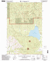
1994 Map of Lake Mary Ronan
USGS Topo · Published 1996About this map
Lake Mary Ronan defines the center of this 1994 landscape, where the northern timberlands meet the upper reaches of the Flathead Indian Reservation. The map details a transition from the structured forestry of the Flathead National Forest to the open recreational areas and small settlements like Meltons and Sipes along the eastern shoreline. The terrain is dominated by the Hog Heaven Range to the southwest and the prominent heights of Blacktail Mountain and Bill Mountain to the north. Transportation and access are highlighted by the Blacktail Wild Bill ORV Nat Rec Trail, reflecting the area's mid-1990s character as a hub for both industry and backcountry leisure. This U.S. Geological Survey revision provides a precise look at local landmarks including Lake Mary Ronan State Park, Camp Tuffit, and the southern Big Meadows area.
Find a feature on this map
28 named features on this map. Tap any name to fly to it.
Don’t see what you’re looking for? This feature index may not catch every label — zoom into the map to look around manually.
Map Details
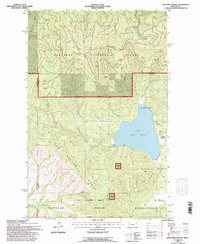
Editions of this 1994 Lake Mary Ronan Map
2 editions found
Other maps of this area

1920 · Flathead Lake
USGS Topo · 1:125,000

1943 · Kalispell
USGS Topo · 1:125,000

1956 · Wallace
USGS Topo · 1:250,000

1957 · Kalispell
USGS Topo · 1:250,000

1960 · Kalispell
USGS Topo · 1:250,000

1960 · Wallace
USGS Topo · 1:250,000

1961 · Kalispell
USGS Topo · 1:250,000

1962 · Kila
USGS Topo · 1:24,000

1962 · Lion Mountain
USGS Topo · 1:24,000

1964 · Irvine Lookout Tower
USGS Topo · 1:24,000