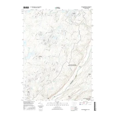
2016 Map of Lake Maskenozha
USGS Topo · Published 2016About this map
Dingmans Cr carves a dramatic path through this section of the Delaware Water Gap National Recreation Area, punctuated by a series of vertical drops including Dingmans Falls, Fulmer Falls, Factory Falls, and Silverthread Falls. The landscape is a complex network of glacial remnants and modern recreation, where expansive residential enclaves like Birchwood Lakes and Pocono Ranch Lands are interspersed with preserved wetlands such as Big Bear Swamp and Long Swamp.
Find a feature on this map
196 named features on this map. Tap any name to fly to it.
Don’t see what you’re looking for? This feature index may not catch every label — zoom into the map to look around manually.
Map Details
Editions of this 2016 Lake Maskenozha Map
This is the sole edition of this map. No revisions or reprints were ever made.
Other maps of this area

1891 · Wallpack
USGS Topo · 1:62,500

1893 · Wallpack
USGS Topo · 1:62,500

1913 · Milford
USGS Topo · 1:62,500

1915 · Milford
USGS Topo · 1:62,500

1924 · Bushkill
USGS Topo · 1:48,000

1935 · Hawley
USGS Topo · 1:62,500

1938 · Hawley
USGS Topo · 1:62,500

1943 · Bushkill
USGS Topo · 1:62,500

1943 · Lake Maskenozha
USGS Topo · 1:31,680
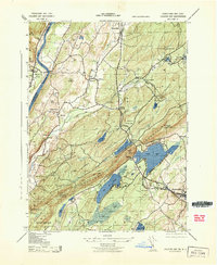
1943 · Culvers Gap
USGS Topo · 1:31,680
Featured Places
- Delaware, Lehman Township
- Stillwater Township, NJ
- Wallpack Center, Walpack Township
- Walpack Township, NJ
- Lehman Township, PA