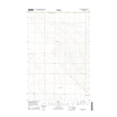
2014 Map of Lake Mason NW
USGS Topo · Published 2014About this map
N Willow Cr meanders through the central and northern sections of this Fergus County landscape, tracing a delicate drainage pattern across the high plains. The map reveals a highly structured grid of section lines and local roads that facilitate movement through this cattle and wheat country. To the south, the terrain transitions near the base of the Little Snowy Mountains, where the drainage of Jones Cr and Willow Cr begins to dominate the landscape.
Find a feature on this map
49 named features on this map. Tap any name to fly to it.
Don’t see what you’re looking for? This feature index may not catch every label — zoom into the map to look around manually.
Map Details
Editions of this 2014 Lake Mason NW Map
This is the sole edition of this map. No revisions or reprints were ever made.
Other maps of this area

1954 · Roundup
USGS Topo · 1:250,000

1958 · Roundup
USGS Topo · 1:250,000

1986 · Tyler
USGS Topo · 1:24,000

1986 · Lake Mason SE
USGS Topo · 1:24,000

1986 · Pender Coulee
USGS Topo · 1:24,000

1986 · Pike Creek Hills West
USGS Topo · 1:24,000

1986 · Lake Mason NE
USGS Topo · 1:24,000

1986 · Lake Mason NW
USGS Topo · 1:24,000

1986 · Pike Creek Hills East
USGS Topo · 1:24,000
1986 · Timber Buttes North
USGS Topo · 1:24,000