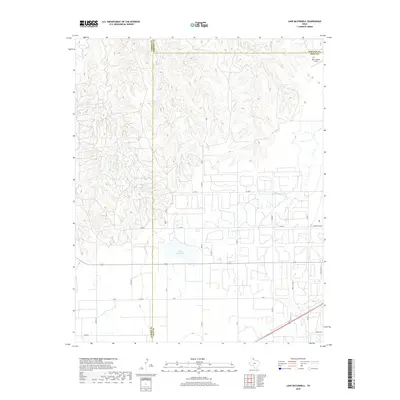
2019 Map of Lake McConnell
USGS Topo · Published 2019About this map
Lake McConnell sits at the heart of this landscape in the Texas Panhandle, where the high plains meet the headwaters of regional drainage systems. To the northwest, White Deer Creek carves through the terrain, contrasting with the more structured development of the southern portion of the map. This area is defined by its intersection of three county lines—Carson, Gray, and Roberts—creating a unique jurisdictional boundary point. The map reveals the infrastructure supporting local transport and industry, from the aviation facilities at Perry Lefors Field to the grid-like expansion of roadways like W Kentucky Ave and Western St. This modern survey illustrates how traditional ranching or oil-field road networks have evolved into a systematic grid of county roads such as Gray H Rd and Co RD 22, documenting the land use patterns near the edge of the Llano Estacado.
Find a feature on this map
27 named features on this map. Tap any name to fly to it.
Don’t see what you’re looking for? This feature index may not catch every label — zoom into the map to look around manually.
Map Details
Editions of this 2019 Lake McConnell Map
This is the sole edition of this map. No revisions or reprints were ever made.
Other maps of this area

1954 · Amarillo
USGS Topo · 1:250,000

1958 · Amarillo
USGS Topo · 1:250,000

1963 · Pampa
USGS Topo · 1:24,000

1963 · Skellytown
USGS Topo · 1:24,000

1965 · White Deer
USGS Topo · 1:24,000

1965 · Lake Mc Connell
USGS Topo · 1:24,000

1966 · Kingsmill
USGS Topo · 1:24,000

1966 · Bowers City
USGS Topo · 1:24,000

1971 · Skellytown NW
USGS Topo · 1:24,000

1971 · Skellytown NE
USGS Topo · 1:24,000