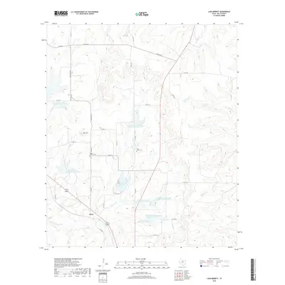
2019 Map of Lake Merritt
USGS Topo · Published 2019About this map
Bozar sits at the heart of this Mills County landscape, where the local terrain is defined by the elevation of Tiger Mtn and the winding course of Browns Cr. The map documents a rural environment shaped by soil conservation efforts, visible through the series of reservoirs such as Brown Mullin Watershed Reservoir Number Five and Brown Mullin Watershed Reservoir Number Seven that support the local watershed. Genealogists and local historians will find significant value in the documentation of the Trigger Mountain Cem and North Browns Cem, which serve as permanent markers of the area's early families. The network of rural routes, including Ranch Rd 1029 and FM 3484, connects these remote settlements and cemeteries to the broader county, illustrating the persistent agricultural character of the region near Lake Merritt.
Find a feature on this map
41 named features on this map. Tap any name to fly to it.
Don’t see what you’re looking for? This feature index may not catch every label — zoom into the map to look around manually.
Map Details
Editions of this 2019 Lake Merritt Map
This is the sole edition of this map. No revisions or reprints were ever made.
Other maps of this area

1885 · San Saba
USGS Topo · 1:125,000

1887 · Lampasas
USGS Topo · 1:125,000

1888 · Hamilton
USGS Topo · 1:125,000

1889 · Brownwood
USGS Topo · 1:125,000

1894 · Hamilton
USGS Topo · 1:125,000

1894 · Lampasas
USGS Topo · 1:125,000

1894 · Brownwood
USGS Topo · 1:125,000

1894 · San Saba
USGS Topo · 1:125,000

1925 · San Saba 1-b
USGS Topo · 1:48,000

1925 · Brownwood 4-c
USGS Topo · 1:48,000