2022 Map of Lake Mills
USGS Topo · Published 2022About this map
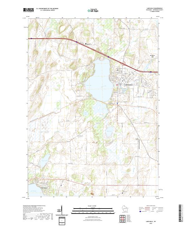
Lake Mills serves as the focal point of this Jefferson County landscape, situated along the eastern shore of Rock Lake. The community's spatial organization reflects a deep-rooted connection to the water, with streets like Water St and Lake Shore Dr defining the waterfront, while industrial and transportation corridors such as Industrial Dr and the Ha-Rail Airport indicate modern economic growth. North of the main settlement, Hoopers Mill marks a historical site on Rock Creek, a waterway that links several local basins including Mud Lake.
Find a feature on this map
78 named features on this map. Tap any name to fly to it.
Don’t see what you’re looking for? This feature index may not catch every label — zoom into the map to look around manually.
Map Details
Editions of this 2022 Lake Mills Map
This is the sole edition of this map. No revisions or reprints were ever made.