2022 Map of Lake Miltona East
USGS Topo · Published 2022About this map
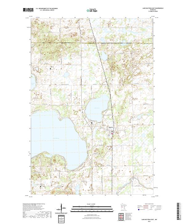
Miltona serves as the central hub of this lakeside landscape on the border of Otter Tail and Douglas counties. The geography is defined by significant water bodies, notably the eastern reaches of Lake Miltona and the nearly circular Lake Irene. This area maintains a strong connection to its early 20th-century roots, evidenced by several well-preserved rural burial grounds including Saint Paul's Cem to the north and Mount Carmel Cem further south. The drainage patterns of the region are clearly marked by the Long Prairie River and engineered waterways like County Ditch Number Twentyfour. The dense network of local roads such as W Miltona Rd NE and N Lake Miltona Dr NE illustrates the development of the shoreline for residential and recreational use throughout the late twentieth century.
Find a feature on this map
77 named features on this map. Tap any name to fly to it.
Don’t see what you’re looking for? This feature index may not catch every label — zoom into the map to look around manually.
Map Details
Editions of this 2022 Lake Miltona East Map
This is the sole edition of this map. No revisions or reprints were ever made.
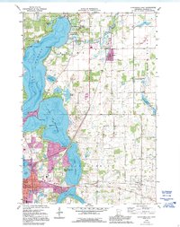
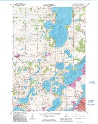
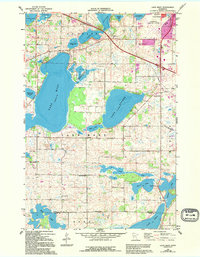
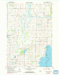
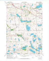
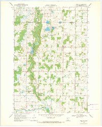
Historical Maps of Eastern Township Through Time
16 maps found
1966 Alexandria East
Douglas County, MN
1966 Alexandria West
Douglas County, MN
1966 Lake Mary
Douglas County, MN
1966 Lake Osakis West
Douglas County, MN
1966 Quam Lake
Douglas County, MN

1969 Lake Miltona East
Douglas County, MN

1969 Lake Miltona West
Douglas County, MN
1969 Rose City
Douglas County, MN
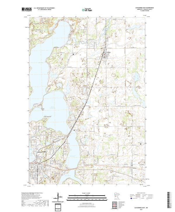
2022 Alexandria East
Douglas County, MN
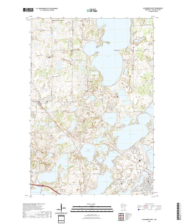
2022 Alexandria West
Douglas County, MN
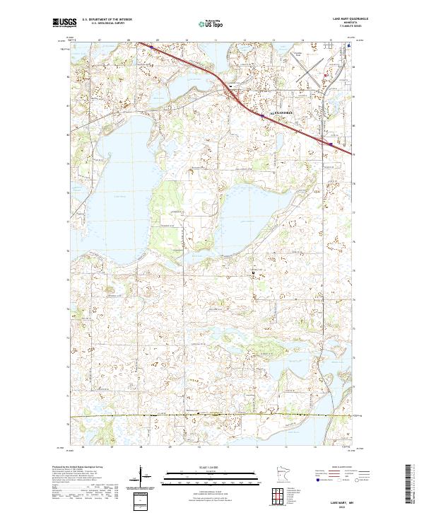
2022 Lake Mary
Douglas County, MN
2022 Lake Miltona East
Douglas County, MN
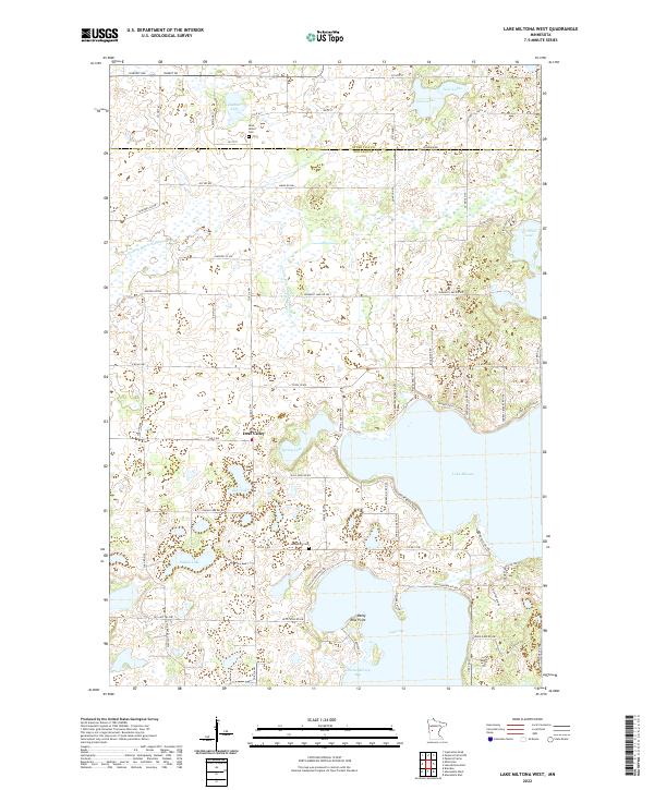
2022 Lake Miltona West
Douglas County, MN
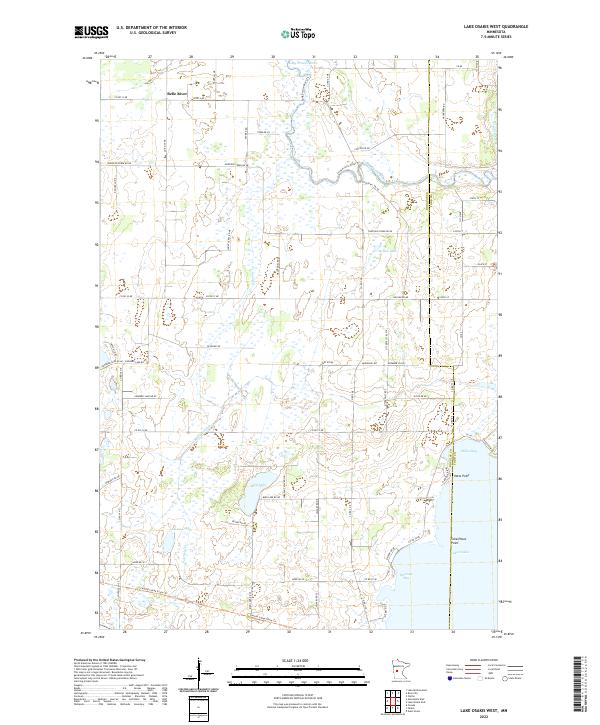
2022 Lake Osakis West
Douglas County, MN
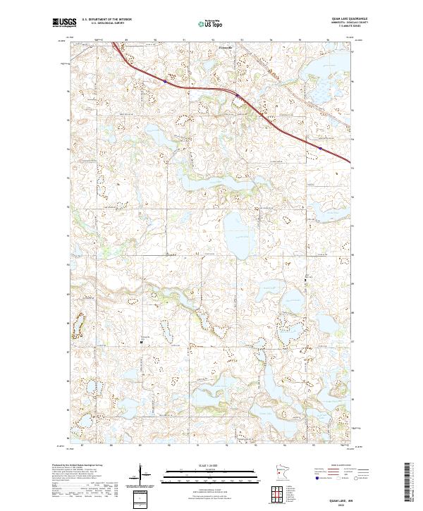
2022 Quam Lake
Douglas County, MN
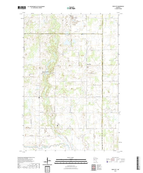
2022 Rose City
Douglas County, MN