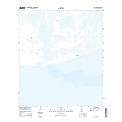
2015 Map of Lake Misere
USGS Topo · Published 2015About this map
Lake Misere dominates this coastal Louisiana landscape, joined to Little Lake Misere by the passage known as The Narrows. This Cameron Parish environment is defined by the intersection of natural wetland features and mid-century industrial engineering. The Intracoastal Waterway cuts a straight path across the marsh, providing a vital transit corridor that bypasses the winding Bayou Misere.
Find a feature on this map
11 named features on this map. Tap any name to fly to it.
Don’t see what you’re looking for? This feature index may not catch every label — zoom into the map to look around manually.
Map Details
Editions of this 2015 Lake Misere Map
This is the sole edition of this map. No revisions or reprints were ever made.
Other maps of this area

1932 · Lake Charles SE
USGS Topo · 1:31,680

1934 · Catfish Lake
USGS Topo · 1:24,000

1934 · Lake Misere
USGS Topo · 1:24,000

1934 · Boudreaux Lake
USGS Topo · 1:24,000

1934 · Latania Lake
USGS Topo · 1:24,000

1935 · Lake Misere
USGS Topo · 1:31,680

1935 · Catfish Lake
USGS Topo · 1:31,680

1935 · Latania Lake
USGS Topo · 1:31,680

1935 · Boudreaux Lake
USGS Topo · 1:31,680

1935 · Bay Labauve
USGS Topo · 1:31,680