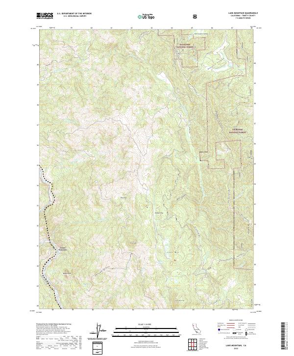
2022 Map of Lake Mountain
USGS Topo · Published 2022About this map
Eel Wild-And Scenic River defines the western edge of this Trinity County landscape, cutting a deep path past Island Mountain. The terrain transitions from the high, ridge-top views of Pilot Peak and Lake Mountain to the high-elevation basins of Kettenpom Valley and Hoaglin Valley in the north. This 2022 survey captures a remote section of the Six Rivers National Forest, where transportation is largely dictated by rugged landforms.
Find a feature on this map
46 named features on this map. Tap any name to fly to it.
Don’t see what you’re looking for? This feature index may not catch every label — zoom into the map to look around manually.
Map Details
Editions of this 2022 Lake Mountain Map
This is the sole edition of this map. No revisions or reprints were ever made.
Other maps of this area

1920 · Cummings
USGS Topo · 1:62,500

1920 · Covelo
USGS Topo · 1:62,500

1920 · Harris
USGS Topo · 1:62,500

1921 · Hoaglin
USGS Topo · 1:62,500

1922 · Island Mountain
USGS Topo · 1:62,500

1931 · Hoaglin
USGS Topo · 1:96,000

1935 · Hoaglin
USGS Topo · 1:125,000

1949 · Alderpoint
USGS Topo · 1:62,500

1951 · Alderpoint
USGS Topo · 1:62,500

1952 · Spyrock
USGS Topo · 1:62,500