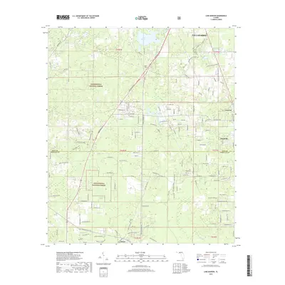
2018 Map of Lake Munson
USGS Topo · Published 2018About this map
Apalachicola National Forest dominates the western and southern reaches of this landscape, framing the transition from the southern outskirts of Tallahassee into the low-lying karst topography of the Florida Panhandle. The area is defined by its complex hydrologic features, including Lake Munson and the subterranean connections suggested by Blue Sink and Riversink Spring. These limestone sinks and sloughs like Munson Slough are characteristic of the region's unique geology, where surface water often disappears into underground aquifers.
Find a feature on this map
142 named features on this map. Tap any name to fly to it.
Don’t see what you’re looking for? This feature index may not catch every label — zoom into the map to look around manually.
Map Details
Editions of this 2018 Lake Munson Map
This is the sole edition of this map. No revisions or reprints were ever made.
Other maps of this area

1940 · Tallahassee
USGS Topo · 1:62,500

1940 · Arran
USGS Topo · 1:62,500

1942 · Tallahassee
USGS Topo · 1:62,500

1943 · Arran
USGS Topo · 1:62,500

1943 · Tallahassee
USGS Topo · 1:62,500

1954 · Lafayette
USGS Topo · 1:24,000

1954 · Woodville
USGS Topo · 1:24,000

1954 · St. Marks
USGS Topo · 1:24,000

1954 · Tallahassee
USGS Topo · 1:250,000

1959 · Tallahassee
USGS Topo · 1:250,000