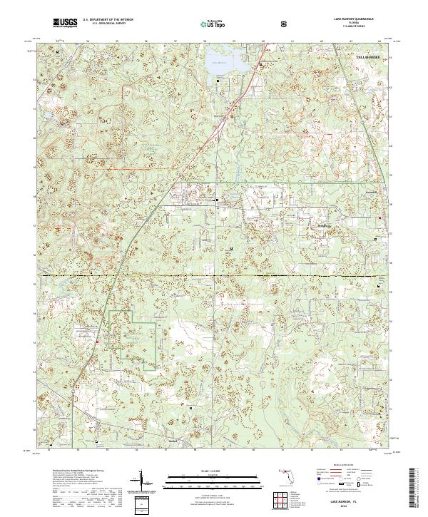
2024 Map of Lake Munson
USGS Topo · Published 2024About this map
Apalachicola National Forest occupies the western and southern reaches of this landscape, where a dense network of forest roads and trails reveals the managed nature of the Florida panhandle woodlands. The area around Woodville and Lutterloh is defined by a high concentration of small family and community burial grounds, including the Saint Peter Family Community Cem West, Saint Peter Family Community Cem East, and the Sunland Paupers Cem. Hydrological features are prominent throughout the karst topography, from the expanse of Lake Munson to specific points of interest like Blue Sink and Riversink Spring. These water features and the complex drainage of Munson Slough and McBride Slough illustrate the unique wet-ground geography that historically dictated the placement of settlements like Bethel and the winding path of Crawfordville Rd.
Find a feature on this map
164 named features on this map. Tap any name to fly to it.
Don’t see what you’re looking for? This feature index may not catch every label — zoom into the map to look around manually.
Map Details
Editions of this 2024 Lake Munson Map
This is the sole edition of this map. No revisions or reprints were ever made.
Other maps of this area

1940 · Tallahassee
USGS Topo · 1:62,500

1940 · Arran
USGS Topo · 1:62,500

1942 · Tallahassee
USGS Topo · 1:62,500

1943 · Arran
USGS Topo · 1:62,500

1943 · Tallahassee
USGS Topo · 1:62,500

1954 · Lafayette
USGS Topo · 1:24,000

1954 · Woodville
USGS Topo · 1:24,000

1954 · St. Marks
USGS Topo · 1:24,000

1954 · Tallahassee
USGS Topo · 1:250,000

1959 · Tallahassee
USGS Topo · 1:250,000