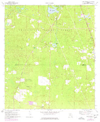
1969 Map of Lake Munson
USGS Topo · Published 1977About this map
Apalachicola National Forest dominates this landscape south of Tallahassee, where the karst topography of the Panhandle is evident through features like Riversink Spring and Lake Munson. The map documents the boundary between Leon and Wakulla counties, intersected by the Tallahassee Meridian and the historical Forbes Purchase Line. Settlement patterns in the late 1960s are concentrated around small communities such as Woodville, Bethel, and Lutterloh, served by the Seaboard Coast Line railroad. Rural life is anchored by local landmarks including St Peters Ch and Zion Hill Ch. Photogrammetric updates from the mid-1970s illustrate the gradual development encroaching on the forest and wetlands like Munson Slough and Eightmile Pond, providing a record of the region's environmental and jurisdictional transitions.
Find a feature on this map
18 named features on this map. Tap any name to fly to it.
Don’t see what you’re looking for? This feature index may not catch every label — zoom into the map to look around manually.
Map Details
Editions of this 1969 Lake Munson Map
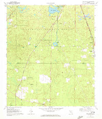
2 editions found
Other maps of this area

1940 · Tallahassee
USGS Topo · 1:62,500

1940 · Arran
USGS Topo · 1:62,500

1942 · Tallahassee
USGS Topo · 1:62,500

1943 · Arran
USGS Topo · 1:62,500

1943 · Tallahassee
USGS Topo · 1:62,500

1954 · Lafayette
USGS Topo · 1:24,000

1954 · Woodville
USGS Topo · 1:24,000

1954 · St. Marks
USGS Topo · 1:24,000

1954 · Tallahassee
USGS Topo · 1:250,000

1959 · Tallahassee
USGS Topo · 1:250,000