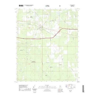
2021 Map of Lake
USGS Topo · Published 2021About this map
Bienville National Forest dominates the southern landscape of this Scott and Newton County region, where the terrain is marked by gentle elevations like Diamond Hill and Bald Hill. Small residential clusters and family enclaves are scattered throughout, including the Dennis Settlement in the north and Buckleytown to the west. The area's genealogical footprint is anchored by historic burial sites such as Dennis Cem and Eureka Cem, while the town of Lake serves as a central hub near the intersection of Old Hwy 80 and local routes like Montrose Rd.
Find a feature on this map
63 named features on this map. Tap any name to fly to it.
Don’t see what you’re looking for? This feature index may not catch every label — zoom into the map to look around manually.
Map Details
Editions of this 2021 Lake Map
This is the sole edition of this map. No revisions or reprints were ever made.
Other maps of this area

1921 · Forest
USGS Topo · 1:48,000

1922 · Forest
USGS Topo · 1:62,500

1950 · Forest
USGS Topo · 1:62,500

1952 · Forest
USGS Topo · 1:62,500

1953 · Meridian
USGS Topo · 1:250,000

1957 · Meridian
USGS Topo · 1:250,000

1965 · Meridian
USGS Topo · 1:250,000

1966 · Newton
USGS Topo · 1:24,000

1966 · Decatur NW
USGS Topo · 1:24,000

1968 · Clear Springs
USGS Topo · 1:24,000