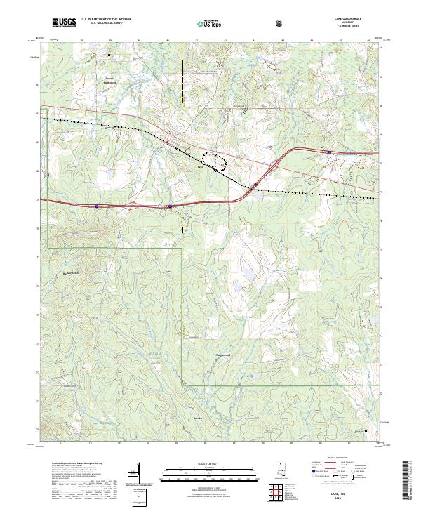
2024 Map of Lake
USGS Topo · Published 2024About this map
Lake sits at a crossroads in central Mississippi where the terrain begins to transition into the southern reaches of the Bienville National Forest. This modern topography shows a landscape deeply etched by hydrology, with the Leaf River and West Tallahala Creek systems defining the local drainage patterns. Small communities like Dennis Settlement, Muskegon, and Tanglewood are spread across the Scott and Newton county line, reflecting a rural settlement pattern that persists alongside modern thoroughfares. Family and local history are anchored by landmarks like Dennis Cem and the Eureka Cem, while the inclusion of sites like Buckleytown and Bartlett provides a clear view of the area's contemporary geography. From the elevation of Diamond Hill to the wooded tracts of the national forest, the map offers a clear look at the intersection of private homesteads and public land in this part of the state.
Find a feature on this map
61 named features on this map. Tap any name to fly to it.
Don’t see what you’re looking for? This feature index may not catch every label — zoom into the map to look around manually.
Map Details
Editions of this 2024 Lake Map
This is the sole edition of this map. No revisions or reprints were ever made.
Other maps of this area

1921 · Forest
USGS Topo · 1:48,000

1922 · Forest
USGS Topo · 1:62,500

1950 · Forest
USGS Topo · 1:62,500

1952 · Forest
USGS Topo · 1:62,500

1953 · Meridian
USGS Topo · 1:250,000

1957 · Meridian
USGS Topo · 1:250,000

1965 · Meridian
USGS Topo · 1:250,000

1966 · Newton
USGS Topo · 1:24,000

1966 · Decatur NW
USGS Topo · 1:24,000

1968 · Clear Springs
USGS Topo · 1:24,000