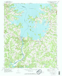
1970 Map of Lake Norman South
USGS Topo · Published 1972About this map
The Catawba River dominates this landscape, having recently transformed into the massive Lake Norman and the smaller Mountain Island Lake at its southern end. This era captures the region as it transitioned from a rural agricultural and ferry-based economy to a recreational and utility hub. The map shows the massive infrastructure supporting this change, including the powerplant and substation near Cowans Ford. Despite the rising waters, deep-rooted community landmarks remain, such as Caldwell Sem and several country churches like Marthas Chapel and Gilead Ch. The Seaboard Coast Line railroad and several long-standing cemeteries, including Rural Hill Cem and Ebenezer Cem, provide tangible links to the older settlements of Triangle and Hicks Crossroads that predate the reservoir's creation.
Find a feature on this map
50 named features on this map. Tap any name to fly to it.
Don’t see what you’re looking for? This feature index may not catch every label — zoom into the map to look around manually.
Map Details
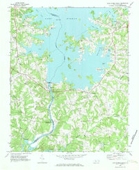
Editions of this 1970 Lake Norman South Map
2 editions found
Other maps of this area

1893 · Statesville
USGS Topo · 1:125,000

1895 · Hickory
USGS Topo · 1:125,000

1914 · Gastonia
USGS Topo · 1:48,000

1916 · Gastonia
USGS Topo · 1:62,500

1941 · Charlotte
USGS Topo · 1:125,000

1942 · Charlotte
USGS Topo · 1:125,000

1948 · Paw Creek
USGS Topo · 1:24,000

1948 · Derita
USGS Topo · 1:24,000

1949 · Hicks Crossroads
USGS Topo · 1:24,000

1953 · Charlotte
USGS Topo · 1:250,000