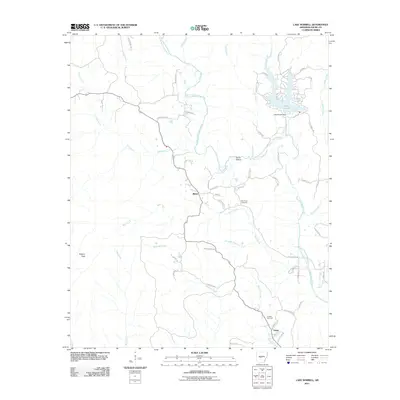
2011 Map of Lake Norrell
USGS Topo · Published 2011About this map
Lake Norrell and the winding course of the North Fork Saline River dominate this Central Arkansas landscape. The terrain transitions from the low-lying Hickory Flats to the more varied topography of Devils Hollow. Small residential pockets and historical sites are scattered throughout, including the settlements of Bland and Grape. The map reveals a network of rural roads and trails, such as Elderberry Trl and Fern Gully Trl, which connect isolated homesteads and local landmarks.
Find a feature on this map
57 named features on this map. Tap any name to fly to it.
Don’t see what you’re looking for? This feature index may not catch every label — zoom into the map to look around manually.
Map Details
Editions of this 2011 Lake Norrell Map
This is the sole edition of this map. No revisions or reprints were ever made.
Other maps of this area

1890 · Benton
USGS Topo · 1:125,000

1894 · Benton
USGS Topo · 1:125,000

1938 · Benton
USGS Topo · 1:48,000

1944 · Benton
USGS Topo · 1:62,500

1944 · Benton
USGS Topo · 1:31,680

1955 · Little Rock
USGS Topo · 1:250,000

1956 · Little Rock
USGS Topo · 1:250,000

1960 · Little Rock
USGS Topo · 1:250,000

1963 · Fourche SW
USGS Topo · 1:24,000

1963 · Paron
USGS Topo · 1:24,000