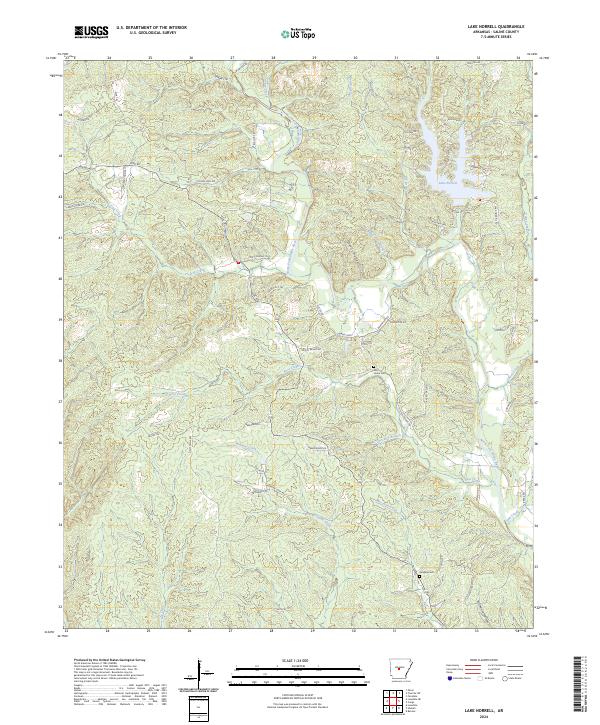
2024 Map of Lake Norrell
USGS Topo · Published 2024About this map
Lake Norrell serves as a centerpiece for this part of Saline County, where the modern landscape meets the winding drainage of the North Fork Saline River. The terrain is defined by a dense network of tributaries including Turkey Creek, Boot Creek, and Moccasin Creek, which carve through the wooded hollows. Notable local history landmarks include the Old Union Cem and Langley Cem, both of which are preserved alongside residential developments and older roads.
Find a feature on this map
60 named features on this map. Tap any name to fly to it.
Don’t see what you’re looking for? This feature index may not catch every label — zoom into the map to look around manually.
Map Details
Editions of this 2024 Lake Norrell Map
This is the sole edition of this map. No revisions or reprints were ever made.
Other maps of this area

1890 · Benton
USGS Topo · 1:125,000

1894 · Benton
USGS Topo · 1:125,000

1938 · Benton
USGS Topo · 1:48,000

1944 · Benton
USGS Topo · 1:62,500

1944 · Benton
USGS Topo · 1:31,680

1955 · Little Rock
USGS Topo · 1:250,000

1956 · Little Rock
USGS Topo · 1:250,000

1960 · Little Rock
USGS Topo · 1:250,000

1963 · Fourche SW
USGS Topo · 1:24,000

1963 · Paron
USGS Topo · 1:24,000