
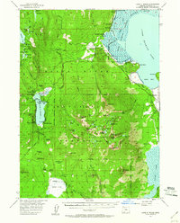
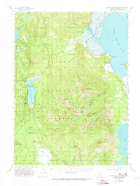
1955 Map of Lake O' Woods
USGS Topo · Published 1957About this map
Rogue River National Forest and the Mountain Lakes Wild Area dominate this mid-century look at the southern Cascades. The map highlights a localized recreation economy centered on Lake O' Woods, where the Lake O' Woods Resort sits alongside several specialized camps like Camp McLoughlin and Low Echo Camp. These seasonal settlements represent a shift from the resource extraction of the early era toward organized outdoor recreation and conservation.
Find a feature on this map
81 named features on this map. Tap any name to fly to it.
Don’t see what you’re looking for? This feature index may not catch every label — zoom into the map to look around manually.
Map Details
Editions of this 1955 Lake O' Woods Map
3 editions found
Other maps of this area

1889 · Klamath
USGS Topo · 1:250,000

1891 · Ashland
USGS Topo · 1:250,000

1893 · Ashland
USGS Topo · 1:250,000

1894 · Klamath
USGS Topo · 1:250,000

1897 · Ashland
USGS Topo · 1:250,000

1955 · Surveyor Mtn
USGS Topo · 1:62,500

1955 · Rustler Peak
USGS Topo · 1:62,500

1955 · Hyatt Reservoir
USGS Topo · 1:62,500

1955 · Mt. Mc Loughlin
USGS Topo · 1:62,500

1955 · Pelican Butte
USGS Topo · 1:62,500