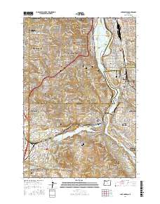
2017 Map of Lake Oswego
USGS Topo · Published 2017About this map
Lake Oswego and the Willamette River anchor this 2017 study of the southern Portland metropolitan area, where the complex geography of islands, peninsulas, and ridges has long shaped residential development. The map details the established neighborhoods of Sellwood, Eastmoreland, and Hillsdale, while highlighting the transition from urban Portland to the suburban enclaves of Dunthorpe and Oak Grove. Several significant historical sites are documented, including the sprawling Riverview Cem and Greenwood Hill Cem, alongside the early Jewish burial grounds of Beth Israel Cem and Ahavai Sholom Cem.
Find a feature on this map
102 named features on this map. Tap any name to fly to it.
Don’t see what you’re looking for? This feature index may not catch every label — zoom into the map to look around manually.
Map Details
Editions of this 2017 Lake Oswego Map
This is the sole edition of this map. No revisions or reprints were ever made.
Other maps of this area

1897 · Portland
USGS Topo · 1:62,500

1905 · Portland
USGS Topo · 1:62,500

1914 · Oregon City
USGS Topo · 1:62,500

1915 · Hillsboro
USGS Topo · 1:62,500

1916 · Tualatin
USGS Topo · 1:62,500

1918 · Hillsboro
USGS Topo · 1:62,500

1939 · Oregon City
USGS Topo · 1:62,500

1939 · Tualatin
USGS Topo · 1:62,500

1940 · Tualatin
USGS Topo · 1:62,500

1940 · Hillsboro
USGS Topo · 1:62,500