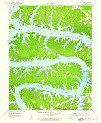
1959 Map of Lake Ozark
USGS Topo · Published 1960About this map
The intricate shoreline of the Lake of the Ozarks dominates this mid-century survey, illustrating the complex geography of the Osage River valley following the construction of the Bagnell Dam Spillway. The map captures the early development of the town of Lake Ozark and its surrounding leisure communities, such as Arrowhead Beach and Laguna Beach. The terrain is characterized by a series of dramatic meanders and peninsulas, including the prominent Horseshoe Bend, Jasper Bend, and Turkey Bend, each deeply incised by dozens of named coves like Lick Branch Cove and Jennings Branch Cove. Local history is preserved through the locations of numerous family and community landmarks, including Harpers Chapel, the School of the Osage, and several burial sites such as Riverview Cem and Stevens Banner Cem. The eastern portion of the map includes a section of the Lake of the Ozarks State Park, highlighting the area's transition into a major regional recreation hub.
Find a feature on this map
58 named features on this map. Tap any name to fly to it.
Don’t see what you’re looking for? This feature index may not catch every label — zoom into the map to look around manually.
Map Details
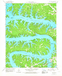
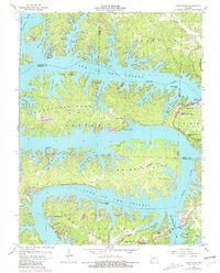
Editions of this 1959 Lake Ozark Map
3 editions found
Other maps of this area

1888 · Versailles
USGS Topo · 1:125,000

1893 · Versailles
USGS Topo · 1:125,000

1904 · Eldon
USGS Topo · 1:62,500

1904 · Gravois Mills
USGS Topo · 1:62,500

1932 · Versailles No 4
USGS Topo · 1:48,000

1934 · Camdenton
USGS Topo · 1:24,000

1934 · Purvis
USGS Topo · 1:24,000

1934 · Toronto
USGS Topo · 1:24,000

1934 · Lake Ozark
USGS Topo · 1:24,000

1934 · Bagnell
USGS Topo · 1:24,000