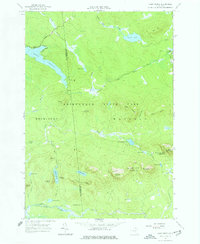
1964 Map of Lake Ozonia
USGS Topo · Published 1977About this map
Adirondack State Park forms the core of this mid-century wilderness survey, which straddles the line between St Lawrence Co and Franklin Co. The landscape is dominated by a dense network of water bodies and peaks, including the prominent Lake Ozonia and the remote Azure Mountain (Lookout Tower) within the State Forest Preserve. These elevations and low-lying basins provide an intricate look at the Adirondack drainage patterns, where Ozonia Lake Outlet and Fivemile Outlet navigate the complex topography.
Find a feature on this map
46 named features on this map. Tap any name to fly to it.
Don’t see what you’re looking for? This feature index may not catch every label — zoom into the map to look around manually.
Map Details
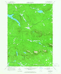
Editions of this 1964 Lake Ozonia Map
2 editions found
Other maps of this area

1905 · Saint Regis
USGS Topo · 1:62,500

1919 · Nicholville
USGS Topo · 1:62,500

1920 · Childwold
USGS Topo · 1:62,500

1921 · Childwold
USGS Topo · 1:48,000

1921 · Nicholville
USGS Topo · 1:62,500

1921 · Santa Clara
USGS Topo · 1:62,500

1922 · Childwold
USGS Topo · 1:62,500

1923 · Santa Clara
USGS Topo · 1:62,500

1948 · Ogdensburg
USGS Topo · 1:250,000

1951 · Ogdensburg
USGS Topo · 1:250,000