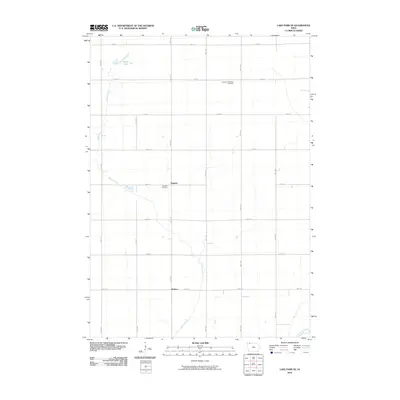
2010 Map of Lake Park SE
USGS Topo · Published 2010About this map
Stony Lake and the meandering headwaters of Stony Creek define the geography of this Dickinson County landscape, where the prairie has been meticulously organized into a grid of section-line roads. This 2010 survey shows the quiet rural character of the area, punctuated by small settlements like Hagerty and Wallace. For the genealogist, the map identifies key burial grounds such as the Excelsior Township Cemetery in the northern reaches and the Westport Cemetery near the center of the quadrangle. The drainage pattern is a central feature of the terrain, with Stony Creek flowing south toward its confluence with the Little Sioux River at the map's southern edge. The distribution of structures along routes like 130th Ave and 260th St provides a clear view of the modern agricultural footprint in this corner of Iowa.
Find a feature on this map
22 named features on this map. Tap any name to fly to it.
Don’t see what you’re looking for? This feature index may not catch every label — zoom into the map to look around manually.
Map Details
Editions of this 2010 Lake Park SE Map
This is the sole edition of this map. No revisions or reprints were ever made.
Other maps of this area

1954 · Fairmont
USGS Topo · 1:250,000

1958 · Fairmont
USGS Topo · 1:250,000

1966 · Spencer
USGS Topo · 1:24,000

1970 · Milford
USGS Topo · 1:24,000

1970 · Everly
USGS Topo · 1:24,000

1970 · Okoboji
USGS Topo · 1:24,000

1970 · Hartley
USGS Topo · 1:24,000

1970 · Lake Park SE
USGS Topo · 1:24,000

1970 · May City
USGS Topo · 1:24,000

1970 · Harris
USGS Topo · 1:24,000