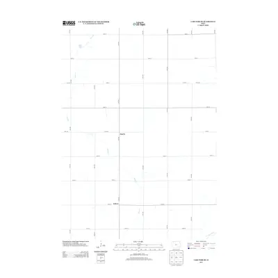
2013 Map of Lake Park SE
USGS Topo · Published 2013About this map
Hagerty and Wallace appear as central points of reference in this rural landscape within Dickinson County, Iowa. The region is defined by a precise section-line road grid, including 130th Ave and 260th St, which organize the agricultural terrain. Water remains a primary natural feature, with the meandering path of Stony Cr flowing through the central and northern reaches before eventually feeding into Stony Lake in the northwest. In the southeast corner, the drainage pattern shifts as the Little Sioux River enters the frame, marking a significant hydrological boundary. This 2013 survey provides a clear view of how long-standing watercourses interact with the established infrastructure of the Iowa countryside.
Find a feature on this map
23 named features on this map. Tap any name to fly to it.
Don’t see what you’re looking for? This feature index may not catch every label — zoom into the map to look around manually.
Map Details
Editions of this 2013 Lake Park SE Map
This is the sole edition of this map. No revisions or reprints were ever made.
Other maps of this area

1954 · Fairmont
USGS Topo · 1:250,000

1958 · Fairmont
USGS Topo · 1:250,000

1966 · Spencer
USGS Topo · 1:24,000

1970 · Milford
USGS Topo · 1:24,000

1970 · Everly
USGS Topo · 1:24,000

1970 · Okoboji
USGS Topo · 1:24,000

1970 · Hartley
USGS Topo · 1:24,000

1970 · Lake Park SE
USGS Topo · 1:24,000

1970 · May City
USGS Topo · 1:24,000

1970 · Harris
USGS Topo · 1:24,000