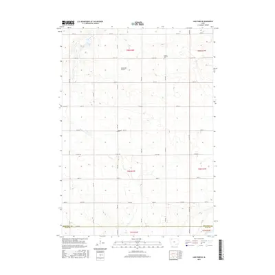
2015 Map of Lake Park SE
USGS Topo · Published 2015About this map
Coteau des Prairies defines the rolling upland character of this Iowa landscape, where the headwaters of Stony Creek and the Little Sioux River begin to carve through the prairie. The region is marked by a strict section-line road grid, including Co Hwy A30 and Co Hwy A48, which bypasses small, localized landmarks vital to local heritage. Genealogists and historians will find the Excelsior Township Cem and Westport Cem preserved within this rural framework. In the northwest, the map captures the transition from open fields to the shoreline of Stony Lake, illustrating how water drainage patterns dictated the placement of early townships across the Dickinson and Clay County line.
Find a feature on this map
27 named features on this map. Tap any name to fly to it.
Don’t see what you’re looking for? This feature index may not catch every label — zoom into the map to look around manually.
Map Details
Editions of this 2015 Lake Park SE Map
This is the sole edition of this map. No revisions or reprints were ever made.
Other maps of this area

1954 · Fairmont
USGS Topo · 1:250,000

1958 · Fairmont
USGS Topo · 1:250,000

1966 · Spencer
USGS Topo · 1:24,000

1970 · Milford
USGS Topo · 1:24,000

1970 · Everly
USGS Topo · 1:24,000

1970 · Okoboji
USGS Topo · 1:24,000

1970 · Hartley
USGS Topo · 1:24,000

1970 · Lake Park SE
USGS Topo · 1:24,000

1970 · May City
USGS Topo · 1:24,000

1970 · Harris
USGS Topo · 1:24,000