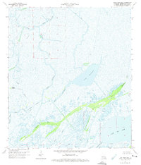
1964 Map of Lake Penchant
USGS Topo · Published 1975About this map
Lake Penchant dominates this mid-century survey of the Terrebonne Parish wetlands, where the intricate hydrology of coastal Louisiana is captured before major modern shoreline changes. This watery landscape is defined by an extensive network of natural distributaries and man-made waterways, including the winding Bayou Penchant and Copasaw Bayou. The presence of a Gas Field and a specific Drill Hole in the northern portion of the map indicates the early industrial footprint of oil and gas exploration in these marshes. In the south, the terrain transitions into larger open waters like Lake De Cade and Jug Lake, separated by landforms such as Bayou Mauvais Bois. This record is essential for understanding the historical configuration of local bayous, including Turtle Bayou and Little Carencro Bayou, and the early canals like Brady Canal that began altering the natural flow of the basin.
Find a feature on this map
19 named features on this map. Tap any name to fly to it.
Don’t see what you’re looking for? This feature index may not catch every label — zoom into the map to look around manually.
Map Details
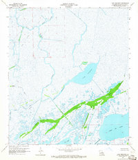
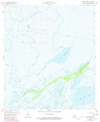
Editions of this 1964 Lake Penchant Map
3 editions found
Other maps of this area

1892 · Gibson
USGS Topo · 1:62,500

1894 · Bayou De Large
USGS Topo · 1:62,500

1897 · Gibson
USGS Topo · 1:62,500

1932 · Lake Decade
USGS Topo · 1:62,500

1935 · Theriot
USGS Topo · 1:31,680

1935 · Morgan City
USGS Topo · 1:62,500

1935 · Lake Mechant
USGS Topo · 1:31,680

1935 · Lake Penchant
USGS Topo · 1:31,680

1939 · Gibson
USGS Topo · 1:62,500

1940 · Bayou Du Large
USGS Topo · 1:62,500